
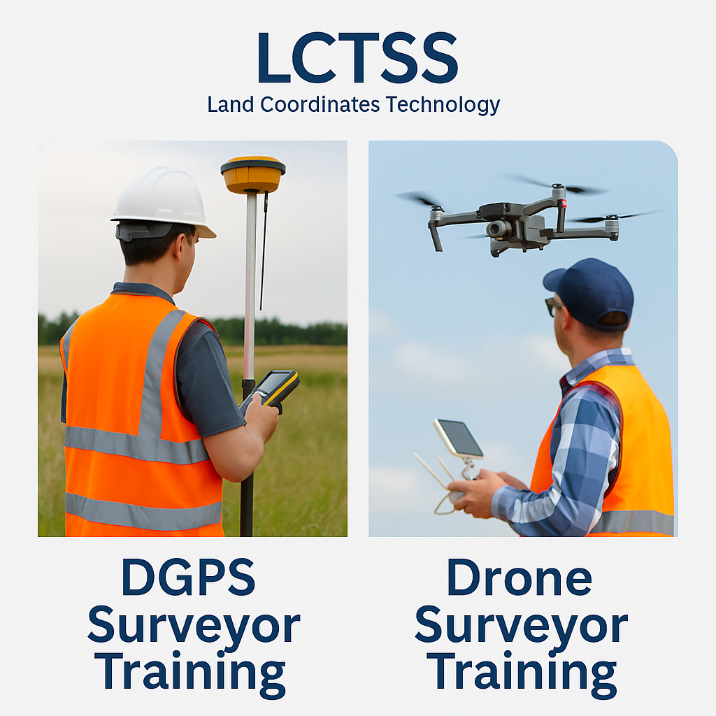
In the fast-evolving landscape of geospatial technology, accurate data collection is the cornerstone of modern surveying. At Land Coordinates Technology (Lctss), we understand the critical role played by advanced surveying methods such as Differential Global Positioning System (DGPS) and Drone Surveying. That’s why we offer comprehensive, industry-relevant training programs designed to equip professionals and aspiring surveyors with practical skills and theoretical knowledge to succeed in the competitive surveying industry.
Our DGPS Surveyor Training and Drone Surveyor Training courses are designed for civil engineers, diploma holders, working professionals, students, and entrepreneurs who wish to gain cutting-edge technical skills in land surveying, mapping, and geospatial analytics.
Why Choose Lctss for DGPS and Drone Surveyor Training?
Land Coordinates Technology (Lctss) is a leading geospatial solutions provider in India with extensive experience in land surveying, geospatial mapping, LiDAR, photogrammetry, and UAV services. Our training programs stand out because:
-
🛰️ Hands-on training using real-time equipment and software
-
🧑🏫 Experienced industry professionals as trainers
-
🧾 Industry-recognized certification
-
🧰 Access to latest DGPS and UAV/Drone equipment
-
🗺️ Live field projects and internships
-
💼 Career support and placement assistance
Whether you are looking to begin your career or upskill, our training programs will provide you with all the essential tools needed to become a modern surveyor.
📍DGPS Surveyor Training at Lctss
What is DGPS?
DGPS (Differential Global Positioning System) is a high-accuracy positioning technology used to enhance the precision of location data obtained through GPS. It is commonly used in topographic surveys, infrastructure projects, road and rail planning, mining, and more.
DGPS Training Modules:
-
Introduction to GPS and DGPS
-
Types of DGPS Instruments
-
Setting up a DGPS Station
-
RTK and Post-Processing Survey Techniques
-
Data Logging and Error Correction
-
Field Practices and Site Surveying
-
Data Download, Processing & Map Generation
-
Project-based Case Studies
Duration:
3 Weeks (can be customized as per requirement)
Outcomes:
-
Learn how to operate DGPS equipment (Trimble, Leica, Sokkia)
-
Perform RTK and static surveys accurately
-
Create high-precision mapping for land records, infrastructure, and design
🚁Drone Surveyor Training at Lctss
What is Drone Surveying?
Drone Surveying utilizes Unmanned Aerial Vehicles (UAVs) equipped with cameras and sensors to capture aerial imagery and geospatial data. It is a revolutionary method for topographic mapping, agriculture surveys, construction monitoring, and urban planning.
Drone Surveyor Training Modules:
-
Basics of UAV/Drone Technology
-
Types of Drones for Surveying (Fixed-wing, Multirotor)
-
DGCA Drone Rules and Flight Permissions
-
Flight Planning and Mission Execution
-
Drone Data Acquisition and Mapping
-
Photogrammetry and 3D Modelling
-
Using Drone Survey Software (Pix4D, DJI Terra, Agisoft)
-
Live Field Survey with Data Processing
Duration:
3 to 4 Weeks
Outcomes:
-
Learn to operate survey-grade drones safely and efficiently
-
Capture high-resolution aerial imagery and create 3D models
-
Gain skills in flight planning, GCPs, orthomosaic generation, and volumetric analysis
Who Should Join?
-
Civil Engineering Students & Graduates
-
Surveying Professionals
-
GIS & Remote Sensing Enthusiasts
-
Real Estate Planners
-
Construction Managers
-
Government and NGO Personnel
-
Entrepreneurs in Mapping & Land Records
Benefits of Training with Lctss
-
📚 Practical, hands-on learning with real survey tools
-
🎓 Certification from Lctss - recognized across India
-
🤝 Industry-aligned training curriculum
-
🌐 Exposure to real-world survey projects
-
💡 Personalized mentorship from industry experts
Certification & Placement
At the end of each training, candidates receive an Industry-Recognized Certificate from Land Coordinates Technology (Lctss), which greatly enhances employability. We also offer placement support, internship opportunities, and career guidance for successful candidates.
FAQs – DGPS Surveyor Training and Drone Surveyor Training
1. What is the eligibility to join DGPS or Drone Surveyor Training at Lctss?
Anyone with a basic understanding of surveying, civil engineering, or geospatial sciences can join. No prior experience with DGPS or drones is required.
2. How long are the training programs?
The DGPS Surveyor Training usually spans 2–3 weeks, while Drone Surveyor Training takes around 3–4 weeks. Customized schedules are available.
3. Do I need to bring my own equipment?
No, all training equipment including DGPS systems and drones are provided by Lctss during the course.
4. Is this training approved by any government authority?
Lctss is a recognized training provider in the geospatial industry, and we adhere to guidelines set by surveying and civil engineering bodies. Our certification is industry-accepted.
5. Will I get a certificate after completion?
Yes, you will receive a Certificate of Completion from Land Coordinates Technology (Lctss).
6. Do you offer job assistance after training?
Yes, we provide placement support, resume building, and internship opportunities with our partner companies.
7. What kind of projects will I work on during training?
You will participate in live field surveys, including topographic surveys, layout surveys, drone flight missions, and data post-processing.
8. Can I start a surveying business after this training?
Yes, many of our trainees have started their own surveying firms after completing our programs. We provide entrepreneurship guidance as well.
9. Is there any online version of this training?
Currently, most of our training is offline and field-based due to the practical nature. However, we offer theory modules and software training online as well.
10. Where is the training conducted?
Our primary training centers are located in Chennai, Trichy, Bangalore, and other cities across South India. Field sessions are conducted in live project locations.
Enroll Today with Land Coordinates Technology
If you're looking to advance your career in the surveying industry or want to upskill in high-demand technologies, DGPS Surveyor Training and Drone Surveyor Training at Land Coordinates Technology (Lctss) are the perfect opportunities.
Take the first step toward a dynamic and future-ready surveying career.
📞 Call us: +91-9841804241
🌐 Website: www.lctss.in
📍 Location: Available across major cities in Tamil Nadu and South India
Land Coordinates Technology (Lctss) – Empowering Tomorrow’s Surveyors with Technology and Precision.
Let me know if you'd like this converted into a brochure, webpage, or a downloadable PDF!