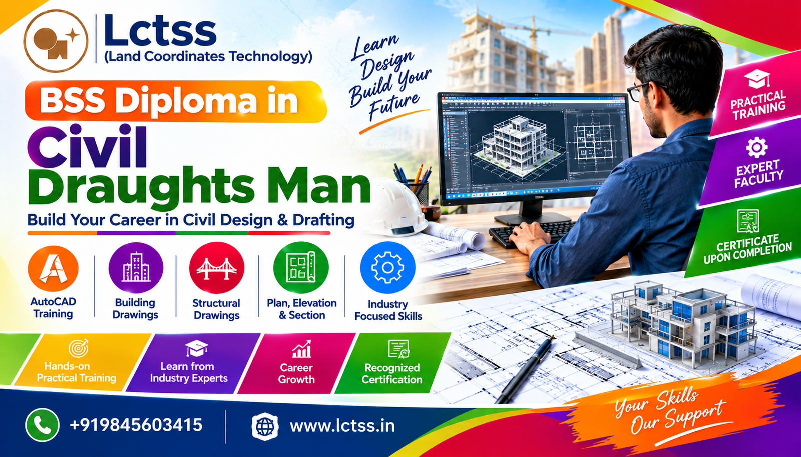
 1 year
What we do
Our Courses
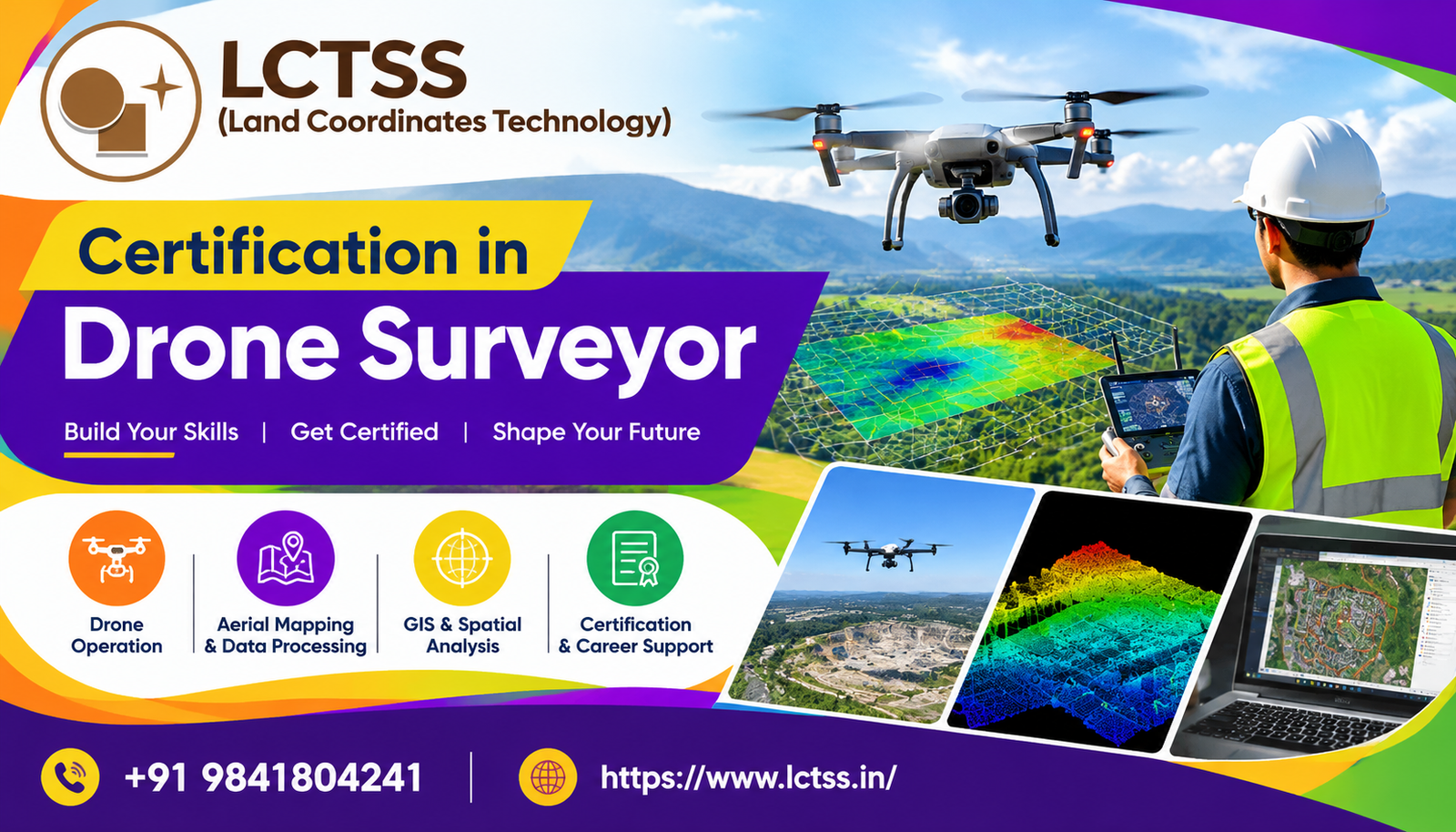
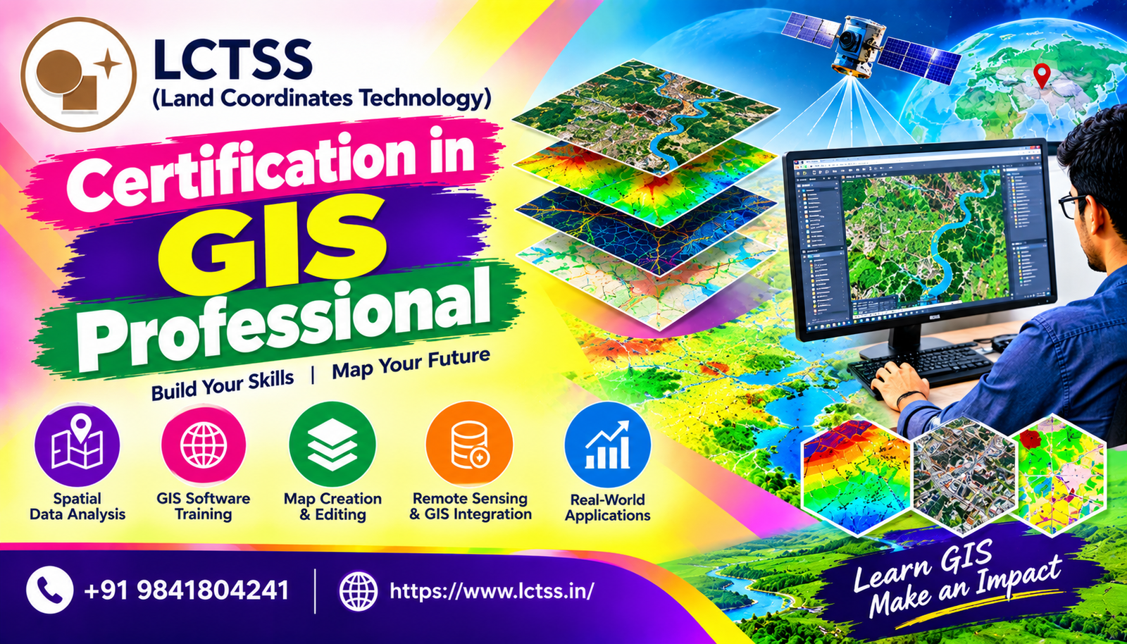
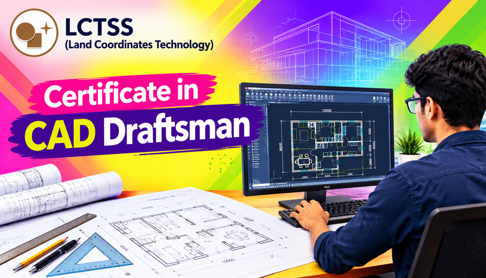
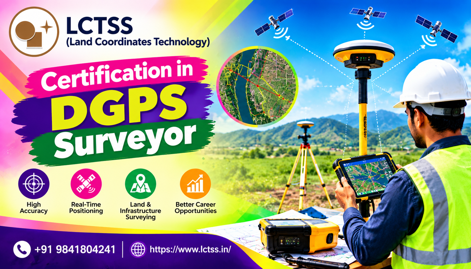
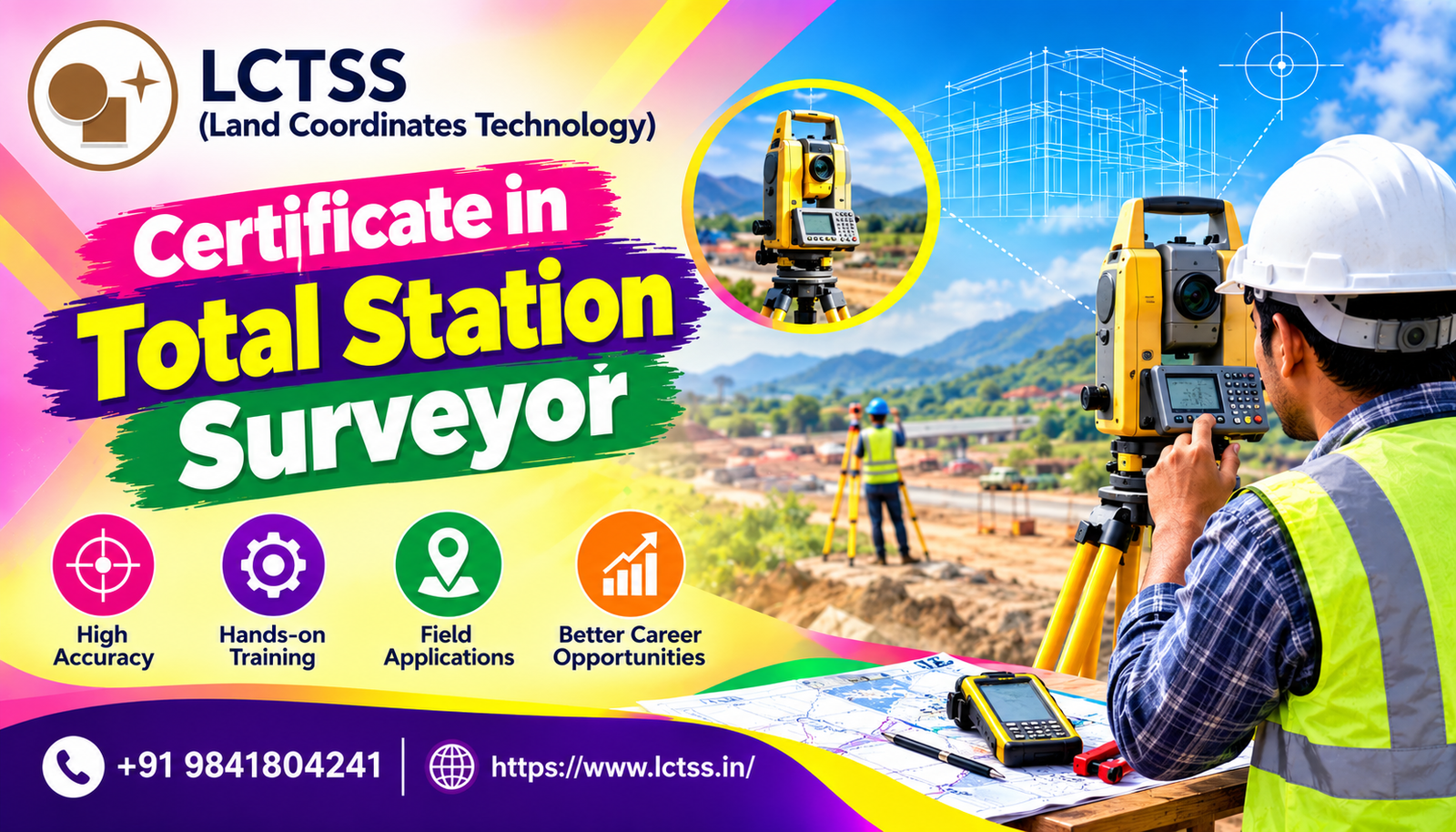
LCTSS (Land Coordinates Technology) offers professional training courses in Land Surveying, DGPS, Total Station, GIS, LiDAR, CAD Draftsman, Photogrammetry, Drone Surveying, and GNSS technologies. Gain practical knowledge, develop technical skills, and learn to work with modern surveying instruments and geospatial technologies. Build your confidence and prepare for career opportunities in surveying, civil engineering, construction, and mapping.