


In the field of land surveying, technological advancements have played a crucial role in revolutionizing traditional surveying methods. One such innovation that has gained significant traction is the utilization of UAV/Drone technology. In the context of Karnataka, a state known for its diverse terrain and expansive landscapes, UAV/Drone survey services provided by Land Coordinates Technology have emerged as a game-changer, unlocking new possibilities and enhancing the accuracy and efficiency of land surveying processes.
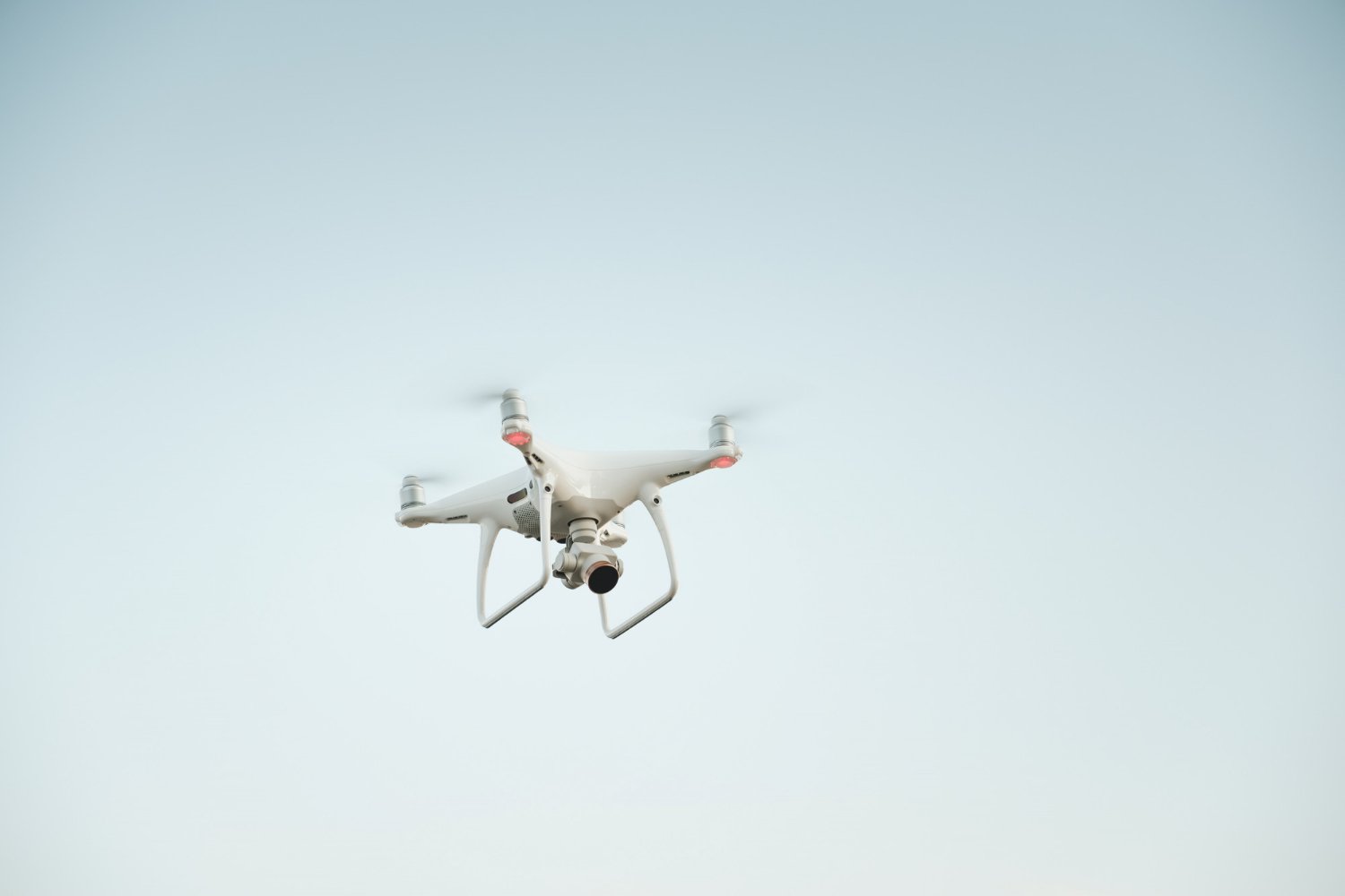
UAV/Drone technology has become increasingly popular in land surveying due to its ability to capture high-resolution aerial imagery and collect geospatial data with exceptional precision. Land Coordinates Technology harnesses the power of UAV/Drone technology to offer comprehensive surveying solutions tailored specifically for the unique geographical features and land requirements in Karnataka.
One of the key advantages of UAV/Drone survey services is their ability to access remote or inaccessible areas that would otherwise be challenging or time-consuming to survey using traditional methods. By deploying UAVs and drones equipped with advanced imaging sensors and LiDAR technology, Land Coordinates Technology can swiftly and accurately capture data from even the most rugged and hard-to-reach terrains in Karnataka.
The utilization of UAV/Drone technology also eliminates the need for manual measurements and reduces human error, ensuring highly accurate and reliable survey results. The drones are equipped with state-of-the-art GPS and positioning systems, enabling precise geolocation and mapping of the surveyed areas. This level of accuracy is particularly crucial in applications such as infrastructure development, urban planning, and land management, where precise measurements and mapping are essential.
Furthermore, the speed and efficiency of UAV/Drone surveying greatly contribute to time and cost savings. Compared to traditional surveying methods that often involve labor-intensive fieldwork and lengthy data processing, UAV/Drone technology streamlines the entire surveying process. The data collected by the drones can be processed quickly using advanced software, allowing for rapid generation of detailed maps, 3D models, and contour data.
Land Coordinates Technology’s UAV/Drone survey services in Karnataka are backed by a team of experienced surveyors and drone pilots who possess in-depth knowledge of the local terrain and surveying regulations. This ensures that the surveys are conducted in compliance with the highest industry standards and regulatory requirements.
The adoption of UAV/Drone technology for land surveying in Karnataka has opened up new frontiers in the field of geospatial data collection. Land Coordinates Technology’s cutting-edge UAV/Drone survey services have unleashed the potential of this technology, offering accurate, efficient, and cost-effective surveying solutions for various applications across the diverse landscapes of Karnataka. With UAV/Drone technology, the future of land surveying in Karnataka is poised for unprecedented precision and productivity.
Transforming Land Surveying with UAV/Drone Technology in Karnataka
Land surveying in Karnataka has witnessed a remarkable transformation with the advent of UAV/Drone technology. Land Coordinates Technology, at the forefront of this technological revolution, has harnessed the power of UAV/Drone technology to revolutionize the way land surveys are conducted in Karnataka.
UAV/Drone technology has brought unprecedented precision, efficiency, and cost-effectiveness to land surveying processes. By utilizing advanced drones equipped with high-resolution cameras and LiDAR sensors, Land Coordinates Technology captures detailed aerial imagery and geospatial data with remarkable accuracy. This technology enables a comprehensive and holistic understanding of the surveyed land, facilitating informed decision-making for various stakeholders.
In Karnataka, with its diverse terrain and challenging landscapes, UAV/Drone technology has proven to be a game-changer. It allows for the efficient surveying of remote and inaccessible areas that were previously difficult to reach using traditional surveying methods. The drones’ ability to navigate through rugged terrains and capture data from elevated perspectives enables a comprehensive assessment of the land, uncovering crucial details that might have been missed otherwise.
Moreover, the speed and efficiency of UAV/Drone surveying significantly reduce project timelines. The data collected by the drones can be processed rapidly using sophisticated software, generating detailed maps, 3D models, and contour data in a fraction of the time required by conventional surveying methods. This accelerated workflow translates into cost savings and faster project completion, benefitting various industries such as construction, infrastructure development, and urban planning in Karnataka.
Land Coordinates Technology’s expertise in UAV/Drone surveying, coupled with their team of experienced professionals, ensures the highest standards of accuracy and reliability in land surveying projects across Karnataka. With their commitment to technological innovation and unwavering focus on delivering precise and efficient survey solutions, Land Coordinates Technology continues to transform land surveying practices in Karnataka using UAV/Drone technology.