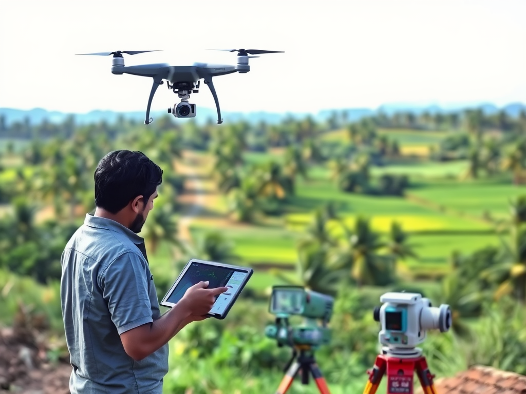


In the ever-evolving landscape of technology, the use of UAV (Unmanned Aerial Vehicles) or drones has revolutionized various industries, particularly in surveying and mapping. In Thiruvananthapuram, Kerala, Land Coordinates Technology (LCTSS) stands out as a premier provider of professional UAV/Drone survey services. Our commitment to precision, efficiency, and innovative technology makes us the best choice for your surveying needs.
Table of Contents
ToggleUAV/Drone survey services involve the use of drones equipped with high-resolution cameras and advanced sensors to collect data from the air. This data can be processed to create detailed maps, 3D models, and other valuable spatial information. The advantages of using drones for surveying are numerous:
At LCTSS, we pride ourselves on our team of highly skilled professionals who possess extensive experience in UAV operations and surveying. Our experts are trained to handle various survey types, ensuring that we deliver accurate results tailored to your specific needs.
We utilize the latest drone technology and software to ensure our surveys are of the highest quality. Our UAVs are equipped with state-of-the-art cameras and sensors capable of capturing high-resolution imagery and collecting precise data, making us one of the top UAV/Drone survey services in Thiruvananthapuram, Kerala.
LCTSS offers a wide range of UAV/Drone survey services, including:
Every project is unique, and we understand that one size does not fit all. At LCTSS, we offer customized solutions to meet your specific requirements. Whether you need a detailed survey for a small plot of land or a large-scale mapping project, we can tailor our services accordingly.
Our UAVs can collect data from various angles and altitudes, providing a comprehensive view of the surveyed area. This enhanced data collection leads to better analysis and decision-making.
With our advanced technology, we can process data quickly, providing you with real-time results. This speed is particularly beneficial for industries where time is critical, such as construction and agriculture.
The precision of our UAV surveys minimizes the chances of errors. We utilize photogrammetry and LiDAR technology to ensure that the data collected is not only accurate but also reliable.
Drones have a lower environmental impact compared to traditional surveying methods. They require less manpower and can operate in sensitive areas without disturbing the ecosystem.
In a recent urban development project in Thiruvananthapuram, LCTSS was tasked with conducting a topographic survey. Using our UAV, we completed the survey in just a few hours, providing the client with detailed maps that facilitated efficient planning and design.
For a local agricultural firm, we conducted a drone survey to assess crop health across a large plantation. The data collected helped the farmers make informed decisions regarding irrigation and fertilization, ultimately improving yield and sustainability.
LCTSS was involved in an environmental impact study for a proposed construction site. Our UAV survey provided critical data that helped stakeholders understand the potential impact on the surrounding ecosystem, leading to more responsible planning.
Getting started with our UAV/Drone survey services is simple. Here’s how you can engage with LCTSS for your surveying needs:
Reach out to us for an initial consultation. We will discuss your project requirements, objectives, and any specific challenges you may be facing.
After our consultation, we will provide you with a detailed project proposal outlining the scope of work, timeline, and costs involved.
Once the proposal is approved, our team will schedule the survey at your convenience. We will handle all aspects of the survey, ensuring minimal disruption to your operations.
After the survey is completed, we will process the data and deliver the results in the format you require, whether it be maps, models, or raw data files.
When it comes to professional UAV/Drone survey services in Thiruvananthapuram, Kerala, Land Coordinates Technology (LCTSS) is your go-to partner. Our expertise, cutting-edge technology, and commitment to quality make us the best choice for all your surveying needs. Whether you are in construction, agriculture, or environmental management, we have the solutions to help you succeed.
Contact us today to learn more about our UAV/Drone survey services and how we can assist you in achieving your project goals efficiently and effectively. With LCTSS, you can trust that your surveying needs are in capable hands.