In the realm of land surveying and mapping, the emergence of UAV/Drone survey services has brought about a revolutionary change. Tamilnadu, a state in southern India known for its diverse landscapes and rich cultural heritage, has embraced this technology to enhance accuracy, efficiency, and precision in land coordinates. In this blog, we will explore how UAV/Drone survey services in Tamilnadu are transforming the field of land coordinates technology.
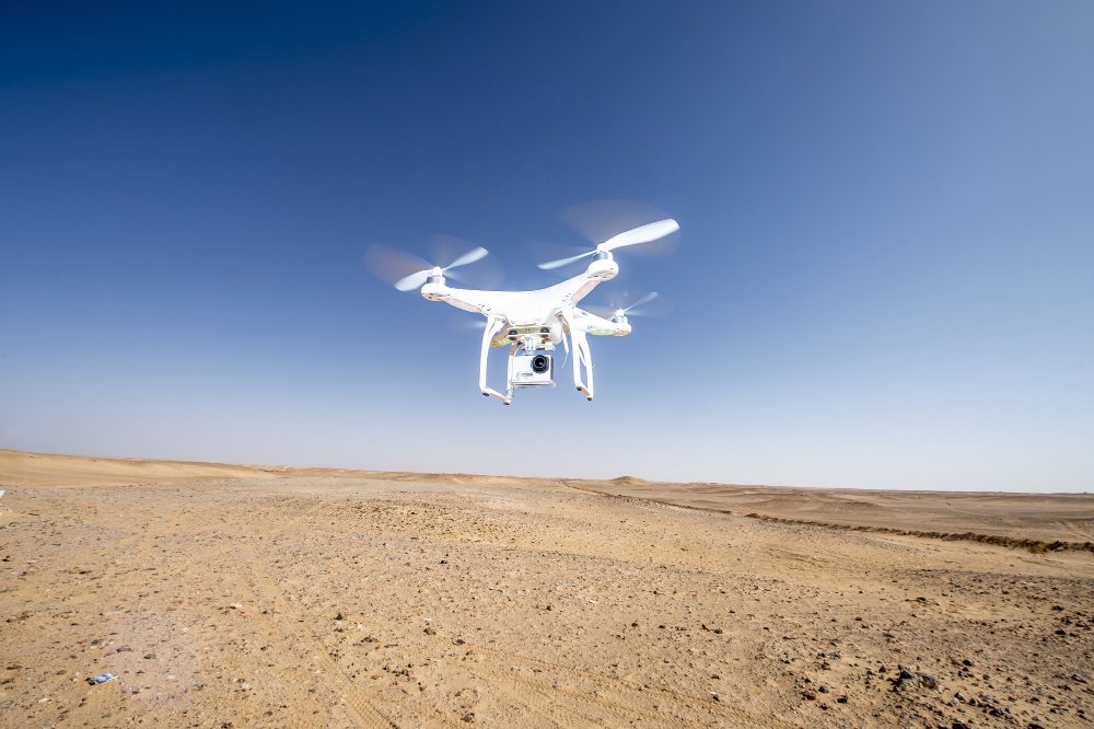
Unmanned Aerial Vehicles (UAVs) or drones have become game-changers in the world of surveying. Equipped with advanced sensors and cameras, these aerial platforms capture high-resolution imagery and data, enabling professionals to obtain detailed information about the land.
The Role of UAV/Drone Survey Services in Tamilnadu:
- Accurate Data Capture: UAV/Drone survey services in Tamilnadu provide highly accurate and detailed data capture for land coordinates technology. With their ability to fly at various altitudes and capture images from different angles, drones produce comprehensive aerial surveys that can capture intricate details of the terrain.
- Rapid Surveying: Traditional land surveying methods often require significant time and resources. UAV/Drone survey services offer a faster and more efficient alternative. Drones can cover large areas in a shorter time frame, reducing the need for extensive manual labor and minimizing project timelines.
- Enhanced Safety: Using UAVs or drones for surveying eliminates the need for surveyors to physically access hazardous or hard-to-reach areas. This improves safety conditions and reduces the risk of accidents during the surveying process.
- Data Visualization and Analysis: UAV/Drone survey services provide professionals with a wealth of data that can be visualized and analyzed in various ways. Advanced software tools allow for the creation of accurate 2D and 3D models, contour maps, and orthomosaic images. This aids in better understanding the terrain, identifying potential issues, and making informed decisions regarding land development projects.
- Cost Efficiency: UAV/Drone survey services offer cost-effective solutions for land surveying in Tamilnadu. By reducing the need for extensive ground-based surveying equipment and personnel, these services help minimize surveying costs while maintaining high levels of accuracy.
- Environmental Monitoring: The use of UAVs or drones in surveying allows for effective monitoring of environmental changes. From tracking vegetation growth and land erosion to assessing the impact of natural disasters, UAV/Drone survey services provide valuable insights into environmental dynamics and aid in environmental conservation efforts.
UAV/Drone survey services have revolutionized land coordinates technology in Tamilnadu. With their ability to capture accurate data, provide rapid surveying capabilities, and enhance safety, UAVs or drones have become indispensable tools for land surveyors and professionals in various industries. As Tamilnadu continues to embrace this technology, the state stands to benefit from improved accuracy, efficiency, and cost savings in land surveying and mapping endeavors. The integration of UAV/Drone survey services has opened up new possibilities for precise land coordinates technology, empowering professionals to make informed decisions and drive sustainable development in the region.
Tell me more.
Here’s some additional information about UAV/Drone survey services in Tamilnadu and their impact on land coordinates technology:
High-Resolution Imagery: UAV/Drone survey services capture images with high-resolution cameras, providing incredibly detailed and accurate data. The images can capture fine features and topographic details that might be missed by traditional surveying methods. This level of detail is crucial for precise land coordinates and mapping.
- Real-Time Data Collection: UAV/Drone survey services allow for real-time data collection, enabling surveyors and professionals to access up-to-date information about the land. This is particularly useful for ongoing projects that require frequent monitoring and assessment of changes in the terrain.
- Improved Accessibility: Drones can access areas that are difficult to reach or inaccessible to humans. This includes rugged terrains, steep slopes, dense vegetation, and hazardous environments. UAV/Drone survey services ensure that no area is left unexplored, providing a comprehensive view of the land.
- Multi-Sensor Capabilities: UAVs or drones can be equipped with various sensors beyond cameras, such as LiDAR (Light Detection and Ranging) or thermal sensors. These additional sensors enable the collection of data beyond visual imagery, allowing for more comprehensive analysis and mapping of the land.
- Integration with Geographic Information Systems (GIS): UAV/Drone survey services seamlessly integrate with GIS platforms, enabling the integration of aerial survey data with existing geospatial information. This integration enhances the analysis and visualization capabilities of land coordinates technology, allowing for better decision-making and planning.
- Infrastructure Planning and Development: UAV/Drone survey services play a vital role in infrastructure planning and development projects. By providing accurate and up-to-date data, these services aid in site selection, route planning, and construction progress monitoring. This leads to improved efficiency, reduced costs, and better project outcomes.
- Environmental Impact Assessments: UAV/Drone survey services are instrumental in conducting environmental impact assessments for development projects. They help assess the potential environmental consequences of construction or infrastructure projects, enabling proactive measures to mitigate negative impacts and ensure sustainable development.
- Land Management and Agriculture: UAV/Drone survey services assist in land management activities, such as cadastral mapping and land parcel identification. They also support precision agriculture by providing data for crop health monitoring, yield estimation, and resource optimization.
The integration of UAV/Drone survey services in Tamilnadu has revolutionized land coordinates technology, providing accurate, efficient, and cost-effective solutions for various industries. With their ability to capture high-resolution imagery, access inaccessible areas, and provide real-time data, UAVs or drones have become indispensable tools in land surveying and mapping. As Tamilnadu continues to leverage this technology, the state can expect improved decision-making, enhanced project outcomes, and sustainable development practices.