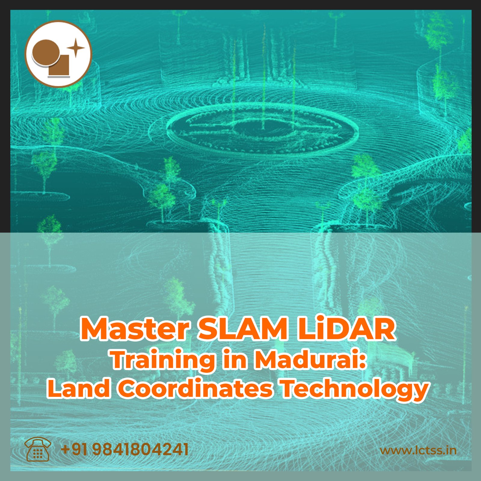


Unlock the potential of cutting-edge technology with SLAM LiDAR training in Madurai, brought to you by Land Coordinates Technology (LCT). As the forefront runners in Land Coordinates Technology, LCT is proud to introduce this specialized training program aimed at empowering individuals and organizations with the skills necessary to harness the power of LiDAR for mapping and surveying.
SLAM (Simultaneous Localization and Mapping) LiDAR represents a revolutionary advancement in the field of mapping, offering unparalleled precision and efficiency in capturing land coordinates. With our comprehensive training program, participants will delve into the intricacies of SLAM LiDAR technology, mastering techniques for real-time mapping and navigation in dynamic environments.
Why choose LCT for your SLAM LiDAR training needs? Our expertise lies not only in the technology itself but also in its practical application. Through hands-on sessions and immersive learning experiences, participants will gain practical insights into utilizing SLAM LiDAR for a myriad of applications, including urban planning, infrastructure development, environmental monitoring, and more.
Moreover, our training program is tailored to accommodate participants of all levels, whether you’re a seasoned professional looking to enhance your skill set or a newcomer eager to explore the possibilities of LiDAR technology. Our experienced instructors ensure that each participant receives personalized attention and guidance, fostering an environment conducive to learning and growth.
Located in Madurai, a hub of innovation and technology, our training facility provides the perfect setting for hands-on learning. Equipped with state-of-the-art equipment and resources, participants will have access to the latest tools and technologies, enabling them to gain practical experience in a simulated real-world environment.
Join us at LCTSS and embark on a journey towards mastery in SLAM LiDAR technology. Elevate your mapping skills, unlock new opportunities, and stay ahead of the curve in the ever-evolving landscape of Land Coordinates Technology. Contact us today to reserve your spot in our upcoming SLAM LiDAR training program in Madurai.
Land Coordinates Technology (LCT) invites you to delve into the world of precision mapping with our exclusive SLAM LiDAR training program in Madurai. At LCT, we understand the pivotal role that advanced technologies play in shaping the future of mapping and surveying. Our comprehensive training curriculum is designed to equip participants with the knowledge and skills needed to leverage SLAM LiDAR effectively in various applications.
What sets our training apart is our commitment to providing hands-on experience and practical insights. Led by industry experts with extensive experience in LiDAR technology and land coordinates mapping, our training sessions combine theoretical knowledge with real-world applications. Participants will learn to navigate complex environments, capture accurate data, and generate detailed maps with efficiency and precision.
Key highlights of our SLAM LiDAR training program include:
In-depth Understanding: Gain a thorough understanding of SLAM LiDAR principles, including sensor technology, data processing algorithms, and integration with GIS (Geographic Information Systems).
Practical Applications: Explore real-world case studies and learn how SLAM LiDAR is utilized in diverse industries such as urban planning, construction, forestry, agriculture, and disaster management.
Hands-on Training: Get hands-on experience with state-of-the-art SLAM LiDAR equipment in our fully equipped training facility. Practice data acquisition, processing, and visualization under the guidance of experienced instructors.
Customized Learning Paths: Our training program caters to participants with varying levels of experience and expertise. Whether you’re a beginner or an experienced professional, we offer tailored learning paths to suit your needs.
Networking Opportunities: Connect with fellow participants, industry professionals, and experts in the field of land coordinates technology. Build valuable relationships and expand your professional network.
Certification: Upon successful completion of the training program, receive a certificate from LCT, validating your proficiency in SLAM LiDAR technology and mapping techniques.
Join us at LCTSS in Madurai and embark on a transformative journey towards mastering SLAM LiDAR for precision mapping. Elevate your skills, enhance your career prospects, and become a key player in the ever-evolving landscape of land coordinates technology. Contact us today to enroll in our upcoming SLAM LiDAR training program and take the first step towards unlocking new opportunities in mapping and surveying.