GPR Survey
A GPR survey involves using a specialized antenna to focus electromagnetic pulses (radar signals) of short duration into the ground. These signals propagate and
Read MoreUnmanned Aerial Vehicles (UAVs), also known as drones, have become increasingly popular for surveying applications in various fields such as agriculture, construction, environmental monitoring, and land surveying. UAV surveys offer many advantages over traditional surveying methods, including faster data collection, increased accuracy, and reduced cost.
UAVs are equipped with sensors such as cameras, LiDAR, and GPS, which can capture high-resolution images, 3D models, and precise location data. This allows for efficient and accurate mapping of areas that may be difficult or dangerous to access by traditional methods.

UAV surveys can be used to gather information about a wide range of features and characteristics such as land topography, vegetation health, infrastructure condition, and water quality. The data collected by UAV surveys can be processed and analyzed using specialized software to generate detailed maps, models, and reports.
Overall, UAV surveys are a powerful tool for collecting accurate and reliable data in a range of industries, enabling more informed decision-making, and driving improvements in efficiency and productivity.
UAV or drone surveying involves the use of unmanned aerial vehicles to collect data and information about an area. These devices are equipped with sensors and cameras, which can capture images and data that can be processed to produce 3D models, topographic maps, and other types of surveying data.
UAV surveys can be used in a variety of applications, such as monitoring and managing agricultural land, inspecting infrastructure, conducting environmental assessments, and surveying construction sites.
One of the key advantages of UAV surveys is their ability to collect data in areas that are difficult or impossible to access by traditional surveying methods. For example, drones can be used to collect data in steep or rugged terrain, or in areas that are inaccessible due to natural disasters or other hazards.
The sensors used in UAV surveys can vary depending on the application, but typically include cameras, LiDAR, and GPS. Cameras can capture high-resolution images that can be used to create maps and models of an area. LiDAR sensors can be used to generate detailed 3D models of the terrain, while GPS can provide precise location data for each image or data point collected.
The data collected by UAV surveys can be processed using specialized software to generate maps, models, and other types of surveying data. This data can be used to make informed decisions about a project or to provide valuable information for planning and management purposes.
UAV or drone surveying is a process of collecting and analyzing data using unmanned aerial vehicles or drones. These vehicles are equipped with a range of sensors, including cameras, LiDAR, GPS, and other instruments that can capture high-resolution images, 3D models, and precise location data.
The drones are flown over an area of interest and the sensors collect data as they fly. This data can include images, video, and other measurements that are then processed using specialized software to generate detailed maps, models, and reports.
UAV surveying can be used in a wide range of applications, such as land surveying, construction monitoring, environmental monitoring, agricultural management, and infrastructure inspection. The data collected can be used to create detailed 3D models of the terrain, analyze vegetation health, identify areas of erosion or land movement, and track the progress of construction projects.
One of the key advantages of UAV surveying is its ability to collect data quickly and efficiently over large areas. This can save time and reduce the cost of data collection, while providing more accurate and reliable results compared to traditional surveying methods.
In addition, UAV surveying can be performed in areas that are difficult or unsafe to access by traditional surveying methods, such as rugged terrain or hazardous environments. The drones can be flown at low altitudes and capture high-resolution images, allowing for detailed analysis of the area.
Another advantage of UAV surveying is the ability to capture data at different times, allowing for the monitoring of changes over time. For example, a drone survey of an agricultural field can be conducted multiple times during a growing season to monitor crop health and growth.
Land Coordinated Technology Company in India, provides the best quality of services in Civil Engineering Surveying, GPR Survey, Land Surveying, and Civil Based Traffic Services etc.

A GPR survey involves using a specialized antenna to focus electromagnetic pulses (radar signals) of short duration into the ground. These signals propagate and
Read More
GIS deals with the information about the earth and its features. The spatial and non-spatial data of the Earth’s surface are managed precisely with the
Read More
LCT has well qualified civil engineers who have esteemed experience in handling civil related works. We have associates qualified from Institution of Valuers.
Read More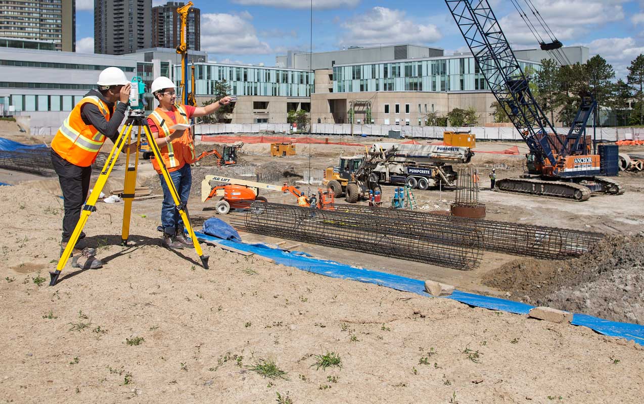
LCT has well qualified civil engineers who have esteemed experience in handling civil related works. We have associates qualified from Institution of Valuers.
Read More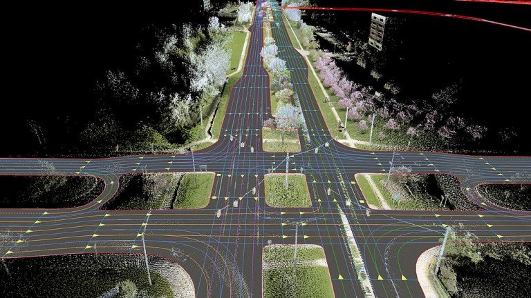
LCT has well qualified civil engineers who have esteemed experience in handling civil related works. We have associates qualified from Institution of Valuers.
Read More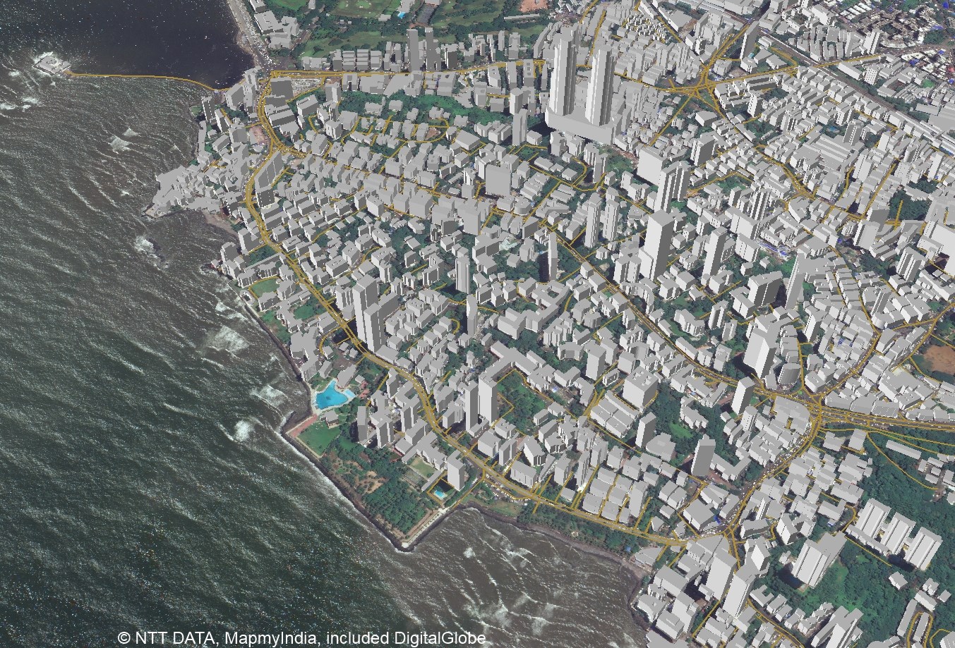
LCT has well qualified civil engineers who have esteemed experience in handling civil related works. We have associates qualified from Institution of Valuers.
Read More


LCT provides Training on the Civil and Geomatics platform with its expert trainers. We provide Government of India approved and recognised course.
Get a professional BSS Diploma in Civil Draughts man with our widely recognized certificate programme.
Students get theoretical and practical knowledge from our Industrial experts. Our students are made to develop the skills to face the real world projects confidently.
Drone surveying is a rapidly growing field that uses unmanned aerial vehicles (UAVs), or drones, to collect high-resolution data for a variety of applications such as mapping, construction, land surveying, and environmental monitoring.
View Course DetailsChoose wisely and move ahead in your career by taking the GIS Professional Certificate course from LCT. This is a best course which covers all the advanced technologies in the syllabus. The course will be taught by industrial experts, so the students get abundant knowledge on the technology and the real world projects.
View Course DetailsCAD (Computer-Aided Design) Draftsman training course is designed to train individuals in the use of computer software and technology to create technical drawings and 3D models used in the manufacturing, engineering, and architecture industries.
View Course Details


