GPR Survey
A GPR survey involves using a specialized antenna to focus electromagnetic pulses (radar signals) of short duration into the ground. These signals propagate and
Read MoreLiDAR is an advanced survey technology which scans the features in the area of interest with the highest accuracy point clouds. The instrument does a 360 ° scan of the area as a point clouds. The application of terrestrial scanner is endless. The data obtained using this LiDAR technology recreates the original features into the As-built form with high accuracy. The data can be used for precise measurement and planning and completely solves the shortcomings faced by traditional technologies. The terrestrial laser scanning technology is cost effective and saves ample amount of time.
Lidar (Light Detection and Ranging) scanning is a technology that uses laser beams to create precise 3D digital models of physical objects and environments. It works by emitting a laser beam from a device and measuring the time it takes for the beam to bounce back after hitting an object. The device then uses this information to create a 3D map of the object or environment being scanned.
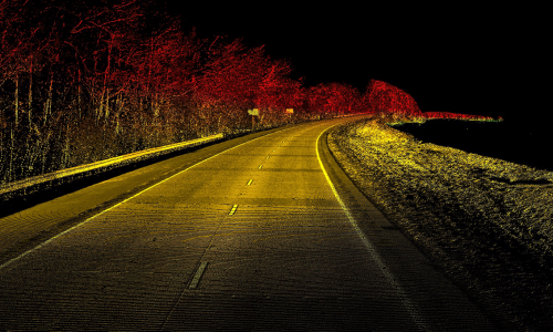
Lidar scanning is commonly used in various industries such as construction, architecture, surveying, mapping, and autonomous vehicles. It enables the creation of highly detailed and accurate models of physical spaces, which can be used for a variety of purposes such as planning and design, analysis, and visualization.
The technology has evolved over the years and has become more affordable and accessible, with handheld and portable Lidar scanners now available for use in various settings. Lidar scanning has revolutionized the way we capture and analyze the physical world, enabling us to create detailed and accurate models that were previously impossible to achieve.
Lidar scanning involves the use of a device called a Lidar sensor, which emits laser beams at a high frequency and measures the time it takes for the beams to reflect back from surrounding objects. The sensor captures millions of data points per second, creating a highly detailed point cloud that represents the 3D geometry of the scanned environment.
The Lidar sensor can be mounted on a tripod or vehicle to capture data from various angles and distances. The data collected can be processed using specialized software to create a 3D model of the environment or object being scanned. The resulting model can be viewed, edited, and analyzed using a variety of software tools.
One of the key advantages of Lidar scanning is its ability to capture highly accurate and detailed data. Lidar sensors can detect even small variations in surfaces and provide a precise representation of the environment being scanned. This level of detail makes Lidar scanning useful in various applications, such as construction, surveying, and mapping.
Lidar scanning can also be used in conjunction with other technologies, such as photogrammetry and GPS, to enhance its accuracy and usefulness. For example, combining Lidar data with aerial photographs can produce highly accurate 3D models of large areas.
In addition to its use in industry and research, Lidar scanning is also being used in the development of autonomous vehicles. Lidar sensors can provide real-time data on the surrounding environment, allowing the vehicle to navigate safely and avoid obstacles.
Overall, Lidar scanning is a versatile and powerful technology that has revolutionized the way we capture and analyze the physical world. Its ability to provide highly accurate and detailed data has made it an invaluable tool in many fields.
Land Coordinated Technology Company in India, provides the best quality of services in Civil Engineering Surveying, GPR Survey, Land Surveying, and Civil Based Traffic Services etc.

A GPR survey involves using a specialized antenna to focus electromagnetic pulses (radar signals) of short duration into the ground. These signals propagate and
Read More
GIS deals with the information about the earth and its features. The spatial and non-spatial data of the Earth’s surface are managed precisely with the
Read More
LCT has well qualified civil engineers who have esteemed experience in handling civil related works. We have associates qualified from Institution of Valuers.
Read More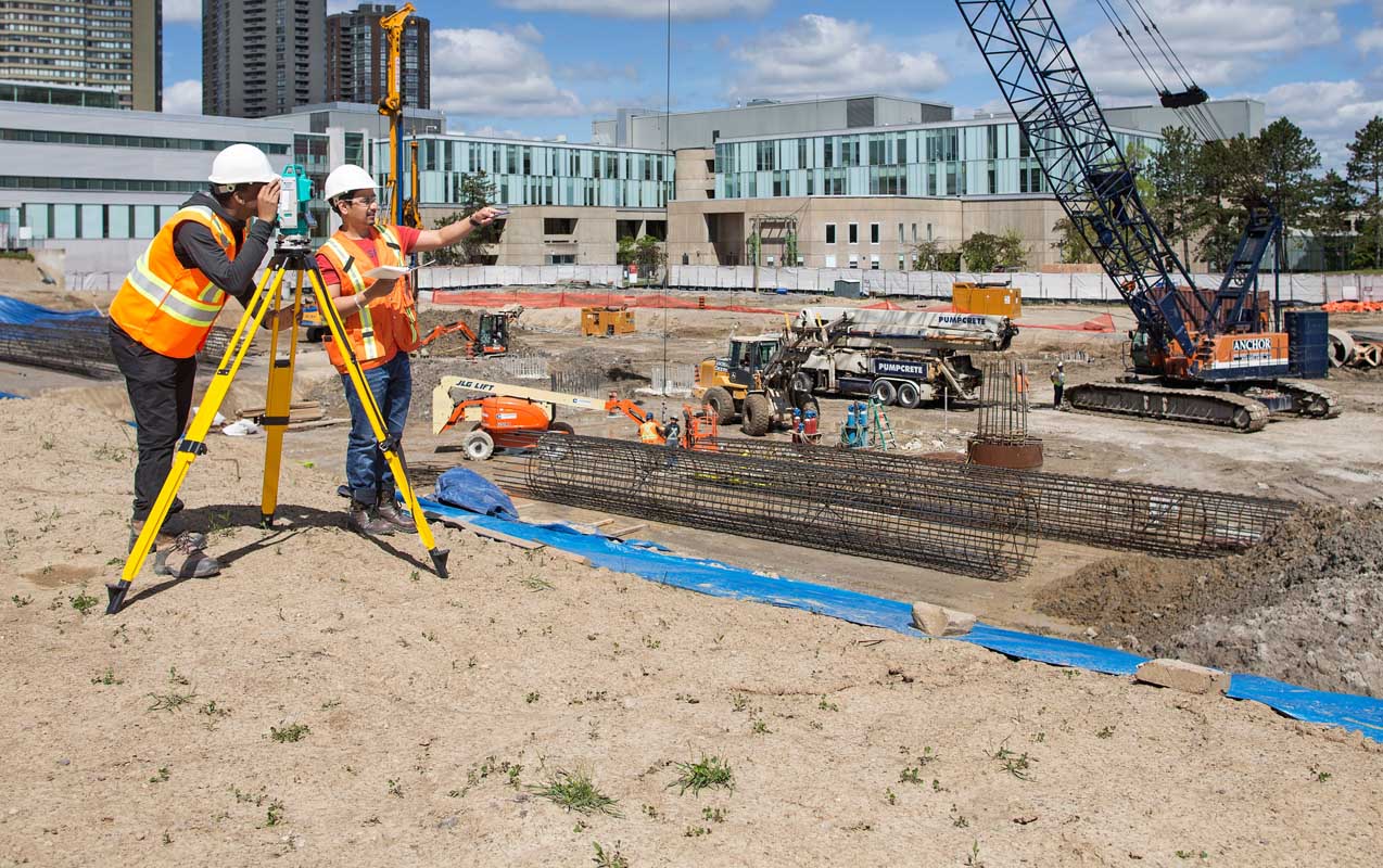
LCT has well qualified civil engineers who have esteemed experience in handling civil related works. We have associates qualified from Institution of Valuers.
Read More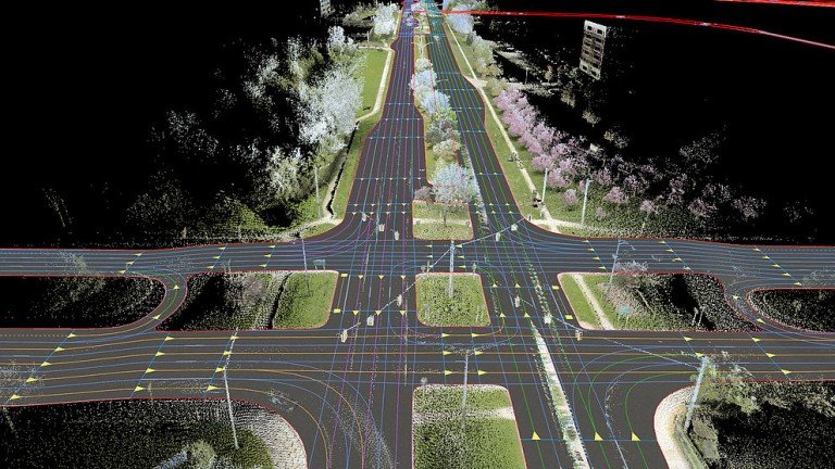
LCT has well qualified civil engineers who have esteemed experience in handling civil related works. We have associates qualified from Institution of Valuers.
Read More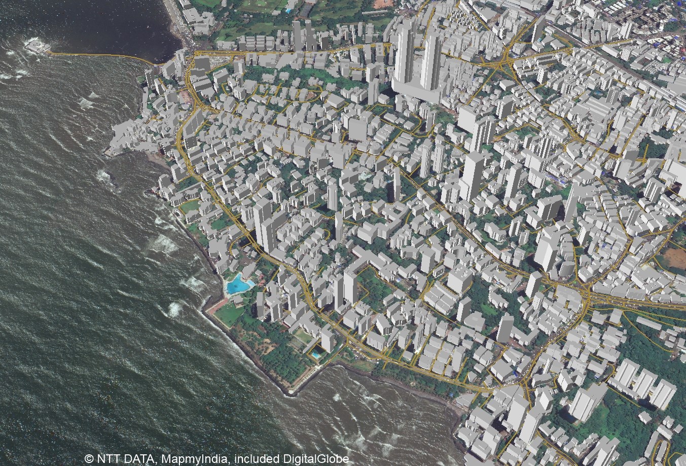
LCT has well qualified civil engineers who have esteemed experience in handling civil related works. We have associates qualified from Institution of Valuers.
Read More


LCT provides Training on the Civil and Geomatics platform with its expert trainers. We provide Government of India approved and recognised course.
Get a professional BSS Diploma in Civil Draughts man with our widely recognized certificate programme.
Students get theoretical and practical knowledge from our Industrial experts. Our students are made to develop the skills to face the real world projects confidently.
Drone surveying is a rapidly growing field that uses unmanned aerial vehicles (UAVs), or drones, to collect high-resolution data for a variety of applications such as mapping, construction, land surveying, and environmental monitoring.
View Course DetailsChoose wisely and move ahead in your career by taking the GIS Professional Certificate course from LCT. This is a best course which covers all the advanced technologies in the syllabus. The course will be taught by industrial experts, so the students get abundant knowledge on the technology and the real world projects.
View Course DetailsCAD (Computer-Aided Design) Draftsman training course is designed to train individuals in the use of computer software and technology to create technical drawings and 3D models used in the manufacturing, engineering, and architecture industries.
View Course Details


