


Land Coordinates Technology is proud to offer highly accurate UAV/Drone survey services tailored specifically for Bangalore’s land coordinates. Leveraging the power of cutting-edge UAV/Drone technology, we provide comprehensive surveying solutions that deliver unmatched precision and reliability.
In a rapidly evolving city like Bangalore, where urban development and infrastructure projects are booming, the need for accurate land surveying has become paramount. Traditional surveying methods often fall short in capturing the intricate details and complexities of the city’s landscape. This is where our UAV/Drone survey services step in to bridge the gap.
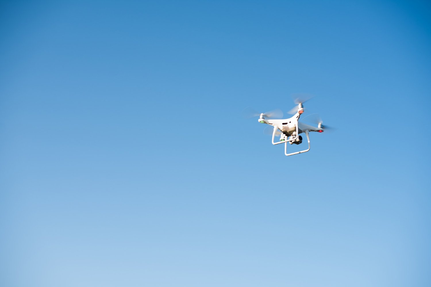
Equipped with state-of-the-art drones and advanced imaging sensors, our skilled surveying team captures high-resolution aerial imagery and collects geospatial data with exceptional accuracy. The drones are equipped with sophisticated GPS and positioning systems, ensuring precise geolocation and mapping of Bangalore’s land coordinates. This level of accuracy is essential for various applications, including urban planning, construction projects, and land management.
One of the key advantages of UAV/Drone technology is its ability to access areas that are otherwise challenging or inaccessible. With Bangalore’s diverse terrain and rapid expansion, there are often areas that are difficult to survey using traditional methods. Our UAV/Drone survey services overcome these challenges by effortlessly maneuvering through complex landscapes, capturing data from elevated perspectives, and providing a comprehensive understanding of the surveyed land.
Not only does UAV/Drone technology enhance the accuracy of land surveying, but it also significantly improves efficiency. The speed at which our drones can capture data, combined with advanced software processing, enables us to deliver rapid results. Detailed maps, 3D models, and contour data can be generated in a fraction of the time required by traditional surveying methods. This streamlined workflow translates into time and cost savings for our clients, allowing them to make informed decisions and move forward with their projects more efficiently.
At Land Coordinates Technology, we understand the importance of precision and reliability in land surveying. Our team consists of experienced professionals who possess in-depth knowledge of Bangalore’s terrain and surveying requirements. We adhere to the highest industry standards and employ rigorous quality control measures to ensure accurate and dependable survey results.
Our highly accurate UAV/Drone survey services for Bangalore’s land coordinates empower businesses, government agencies, and individuals with the data they need to make informed decisions. Land Coordinates Technology is committed to delivering exceptional surveying solutions, unlocking the full potential of UAV/Drone technology in Bangalore’s land surveying endeavors.
Certainly! Here’s some additional information about Land Coordinates Technology’s highly accurate UAV/Drone survey services for Bangalore’s land coordinates:
At Land Coordinates Technology, we are dedicated to pushing the boundaries of land surveying using UAV/Drone technology. Our highly accurate survey services in Bangalore empower businesses, government agencies, and individuals with precise and reliable data, enabling them to make informed decisions and achieve their project goals with confidence.