


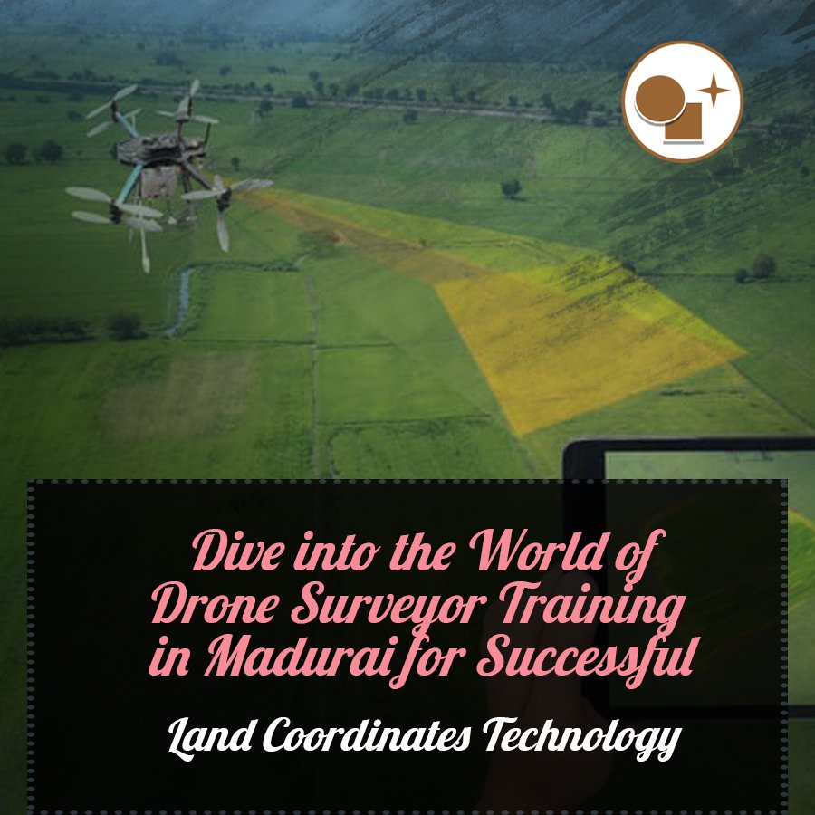
The rapid advancements in drone technology have revolutionized the field of land surveying, enabling professionals to gather highly accurate and detailed spatial data with unprecedented efficiency. As the demand for skilled drone surveyors continues to grow, Land Coordinates Technology (LCT) is proud to offer comprehensive Drone Surveyor Training in Madurai.
Recognized as a leader in surveying solutions, LCT understands the immense potential of drone technology in modern surveying, mapping, and construction applications. Through its specialized training program, the company aims to equip aspiring and experienced surveyors with the knowledge and skills necessary to leverage the power of drones for their professional endeavors.
Conducted by the expert instructors of LCTSS (Land Coordinates Technology Surveyor School), the Drone Surveyor Training in Madurai covers a wide range of topics, including:
Through a blend of classroom sessions and hands-on field exercises, trainees will gain practical experience in operating drones, capturing high-quality aerial imagery, and processing the data for various surveying and mapping purposes.
Upon successful completion of the training, participants will receive a certificate from LCTSS, further validating their expertise in drone surveying. This certification is highly valued by employers in the industry, as it demonstrates the surveyor’s proficiency in leveraging cutting-edge technology to deliver accurate, efficient, and cost-effective surveying solutions.
Whether you are a seasoned surveyor looking to expand your skill set or a aspiring professional seeking to enter the field, the Drone Surveyor Training in Madurai from Land Coordinates Technology is an exceptional opportunity to stay ahead of the curve and thrive in the ever-evolving world of land surveying.
Additional details about the Drone Surveyor Training offered by Land Coordinates Technology (LCT) in Madurai:
Course Curriculum and Structure
The LCT Drone Surveyor Training is a comprehensive program designed to equip participants with the knowledge and skills required to effectively utilize drone technology in surveying and mapping applications. The course curriculum includes:
The training follows a blended learning approach, combining classroom lectures, hands-on equipment demonstrations, and extensive field exercises. This structure allows trainees to gain a thorough understanding of the theoretical concepts and develop the practical skills necessary to execute successful drone surveying missions.
Cutting-Edge Facilities and Equipment
The Drone Surveyor Training is conducted at LCT’s state-of-the-art facilities in Madurai, which feature a dedicated drone laboratory and outdoor training areas. Trainees have access to a wide range of professional-grade drones, including multirotor and fixed-wing models, equipped with high-resolution cameras and advanced sensor payloads.
Participants will receive hands-on experience in drone setup, pre-flight checks, mission planning, and data capture procedures. They will also have the opportunity to process the collected data using industry-leading software, gaining practical expertise in data analysis and interpretation.
Certification and Career Opportunities
Upon successful completion of the Drone Surveyor Training, participants receive a certificate from LCTSS (Land Coordinates Technology Surveyor School), which is recognized as a mark of excellence in the surveying industry. This certification demonstrates the trainees’ proficiency in drone operation, data management, and integration with other surveying technologies.
The LCT Drone Surveyor Training in Madurai equips professionals with the skills and knowledge necessary to thrive in a rapidly evolving industry. Graduates of this program can explore a wide range of career opportunities, including:
By investing in this comprehensive training program, individuals can position themselves as leaders in the dynamic world of drone-based surveying and mapping.