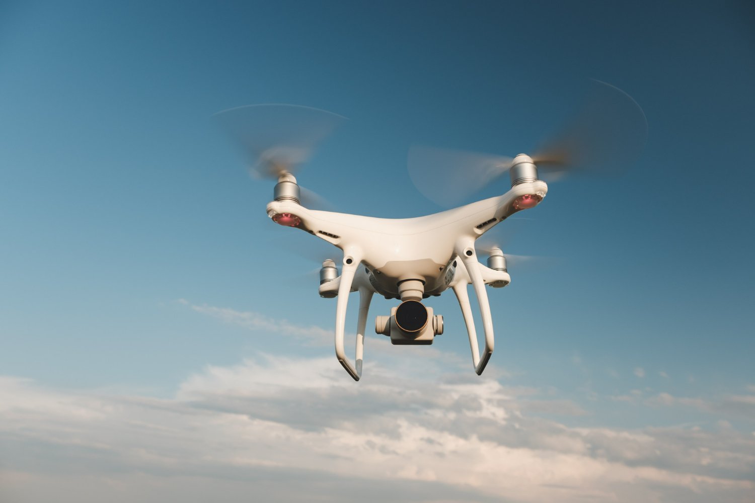
Drone Surveyor Training in Chennai is a comprehensive program designed to equip individuals with the necessary knowledge and skills to operate drones for surveying purposes. Drones, also known as unmanned aerial vehicles (UAVs), have revolutionized the field of surveying by providing efficient and accurate data collection capabilities.
Chennai, the capital city of Tamil Nadu in India, is a hub for technological advancements and offers excellent opportunities for individuals interested in drone surveying. The training programs conducted in Chennai aim to cater to the growing demand for skilled professionals in the drone surveying industry.
During the training, participants are introduced to various aspects of drone surveying, including flight planning, data acquisition, image processing, and data analysis. They learn how to operate drones safely and effectively, ensuring compliance with relevant regulations and guidelines. Additionally, participants gain knowledge of surveying principles, techniques, and the use of specialized software for data processing.
The training modules often include both theoretical and practical sessions. In the theoretical sessions, participants learn about the principles of remote sensing, photogrammetry, and geospatial data analysis. They also get familiarized with the different types of sensors and equipment used in drone surveying.
In the practical sessions, participants receive hands-on training on drone flight operations, including pre-flight checks, take-off, navigation, and landing. They learn how to capture high-resolution aerial imagery and collect geospatial data using drones. Furthermore, participants are trained in post-processing techniques, such as image stitching, orthomosaic generation, and digital elevation model (DEM) creation.
Drone surveyor training programs in Chennai are conducted by experienced instructors who possess expertise in both surveying and drone technology. They provide guidance and mentorship throughout the training, ensuring that participants develop the necessary skills to become proficient drone surveyors.
Upon completion of the training, participants are equipped with the skills to conduct various surveying tasks, such as topographic mapping, land surveying, infrastructure inspection, and environmental monitoring. They can pursue careers as drone surveyors in industries like construction, real estate, agriculture, mining, and urban planning.
Drone Surveyor Training in Chennai is typically offered by specialized training institutes, educational institutions, or drone service providers. These programs are designed to provide comprehensive knowledge and practical skills required to operate drones for surveying and mapping purposes. Here are some additional details about the training:
Course Content: The training program covers a wide range of topics relevant to drone surveying. These may include:
Introduction to drones and their components
Regulations and legal considerations for drone operations
Principles of aerial surveying and photogrammetry
Flight planning and mission management
Drone flight operations and safety procedures
Image acquisition techniques and camera settings
Data processing software and techniques
Data analysis, interpretation, and visualization
Quality control and accuracy assessment
Applications of drone surveying in different industries
Duration: The duration of drone surveyor training programs in Chennai at lctss can vary depending on the level of expertise and the depth of the curriculum. It can range from a few days to several weeks or months. Some institutes may offer intensive short-term courses, while others may provide more extensive programs.
Training Methods: The training is usually delivered through a combination of classroom lectures, practical hands-on sessions, and field exercises. Theoretical sessions provide the foundational knowledge required for drone surveying, while practical sessions focus on developing practical skills in flight operations, data acquisition, and data processing. Participants may also have opportunities to work on real-world surveying projects to gain practical experience.
Equipment and Software: The training programs typically provide participants with access to drones, sensors, and other necessary equipment for the practical sessions. Participants learn how to operate and maintain the drones effectively. Additionally, they are introduced to popular surveying software tools used for data processing and analysis, such as photogrammetry software, GIS software, and data visualization tools.
Certification: Some training programs offer certification upon successful completion. These certifications may vary depending on the institute and the course structure. The certification can demonstrate the participant’s competency and can be beneficial when seeking employment or freelance opportunities in the drone surveying industry.
Prerequisites: The prerequisites for drone surveyor training programs in Chennai can vary. Some programs may have basic requirements, such as a minimum age limit, while others may require prior knowledge or experience in surveying, mapping, or remote sensing. It is advisable to check the specific requirements of the training program before enrolling.
Career Opportunities: Upon completion of the training, participants can pursue various career opportunities in the field of drone surveying. They can work as drone surveyors, GIS specialists, remote sensing analysts, or surveying technicians in industries such as construction, infrastructure development, agriculture, environmental monitoring, and land management.
It’s important to research and choose a reputable training provider in Chennai that offers comprehensive and up-to-date drone surveyor training programs. Checking the curriculum, instructor credentials, and reviews from past participants can help in making an informed decision.


