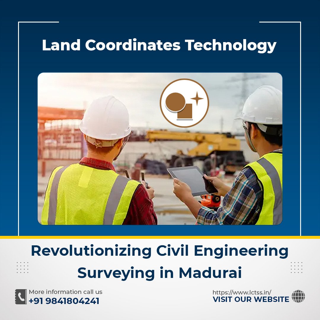


Land Coordinates Technology is at the forefront of cutting-edge advancements in land surveying technology, providing comprehensive solutions for civil engineering projects in Madurai. With a deep understanding of the importance of accurate land coordinates, we deliver precise and reliable surveying services that meet the highest industry standards.
Civil engineering surveying plays a crucial role in the successful execution of construction projects. From land development and infrastructure planning to building design and environmental assessments, accurate surveying data is essential at every stage. At Land Coordinates Technology, we leverage state-of-the-art technology and a team of highly skilled surveyors to meet the diverse needs of our clients in Madurai.
Our team of experienced civil engineers and surveyors possesses a wealth of knowledge in land surveying techniques, including the use of advanced equipment such as total stations, GPS receivers, and 3D laser scanners. This expertise allows us to capture precise measurements, map land contours, and determine accurate boundary lines, ensuring the foundation for a successful project.
We understand the unique challenges associated with civil engineering surveying in Madurai. The rich cultural heritage and rapid urbanization make it essential to balance modern development with preserving historical landmarks and environmental integrity. Our surveying services take into account these factors, providing a holistic approach that respects the city’s heritage while embracing progress.
Land Coordinates Technology offers a comprehensive range of surveying services tailored to the specific needs of our clients. Our services include land boundary surveys, topographic surveys, construction staking, site grading analysis, and utility mapping. We work closely with architects, engineers, contractors, and developers to ensure seamless integration of surveying data into the project workflow.
With our commitment to quality, accuracy, and efficiency, Land Coordinates Technology has emerged as a trusted partner for civil engineering surveying in Madurai. We adhere to the highest standards of professionalism, utilizing the latest software tools to process and analyze survey data, generate detailed reports, and produce accurate maps and plans.
Whether you’re embarking on a residential, commercial, or infrastructure project in Madurai, Land Coordinates Technology is here to support you with our expertise in land surveying. Our goal is to provide reliable data that enables informed decision-making, minimizes risks, and ensures the successful completion of your project within budget and schedule.
Partner with Land Coordinates Technology and experience the power of advanced land surveying technology combined with exceptional service. Contact us today to discuss your civil engineering surveying needs in Madurai and let us help you turn your vision into reality.
Here’s some additional information about Land Coordinates Technology and its services in civil engineering surveying in Madurai:
Advanced Technology: Land Coordinates Technology stays at the forefront of technological advancements in the field of land surveying. We utilize cutting-edge equipment such as 3D laser scanners, robotic total stations, and high-precision GPS receivers to capture accurate and detailed survey data. This advanced technology enables us to provide comprehensive solutions for a wide range of civil engineering projects.
Expert Team: Our team of experienced civil engineers and surveyors is highly skilled in the art of land surveying. They possess a deep understanding of surveying principles, methodologies, and best practices. With their expertise, they can efficiently handle complex surveying tasks, ensuring accurate measurements and precise mapping.
Comprehensive Services: Land Coordinates Technology offers a comprehensive suite of services to cater to various civil engineering surveying needs. These services include land boundary surveys to establish property lines, topographic surveys to map land features and contours, construction staking to guide the construction process, site grading analysis to optimize land use, and utility mapping to identify underground infrastructure.
Customized Approach: We understand that each project is unique, with its own set of challenges and requirements. That’s why we take a customized approach to every surveying project we undertake. Our team collaborates closely with clients to understand their specific objectives and tailor our services accordingly, ensuring that the surveying data aligns seamlessly with the project’s goals.
Accuracy and Reliability: At Land Coordinates Technology, precision and reliability are our top priorities. We employ rigorous quality control measures to ensure that our surveying data is accurate and dependable. By adhering to industry standards and employing best practices, we deliver results that clients can trust for informed decision-making and project planning.
Timely Delivery: We understand the importance of meeting project timelines. Our team is committed to delivering surveying services promptly, without compromising on quality. We leverage efficient workflows, streamlined processes, and advanced software tools to optimize efficiency and meet project deadlines.
Client Satisfaction: Client satisfaction is at the core of our business philosophy. We strive to establish long-term relationships with our clients by providing exceptional service, clear communication, and responsive support throughout the surveying process. We aim to exceed expectations and ensure that our clients feel confident in the accuracy and reliability of our surveying data.
Land Coordinates Technology is dedicated to revolutionizing civil engineering surveying in Madurai by combining advanced technology, expert knowledge, and a client-centric approach. We are committed to supporting our clients’ projects with accurate and reliable surveying data, enabling them to make informed decisions and achieve successful outcomes.