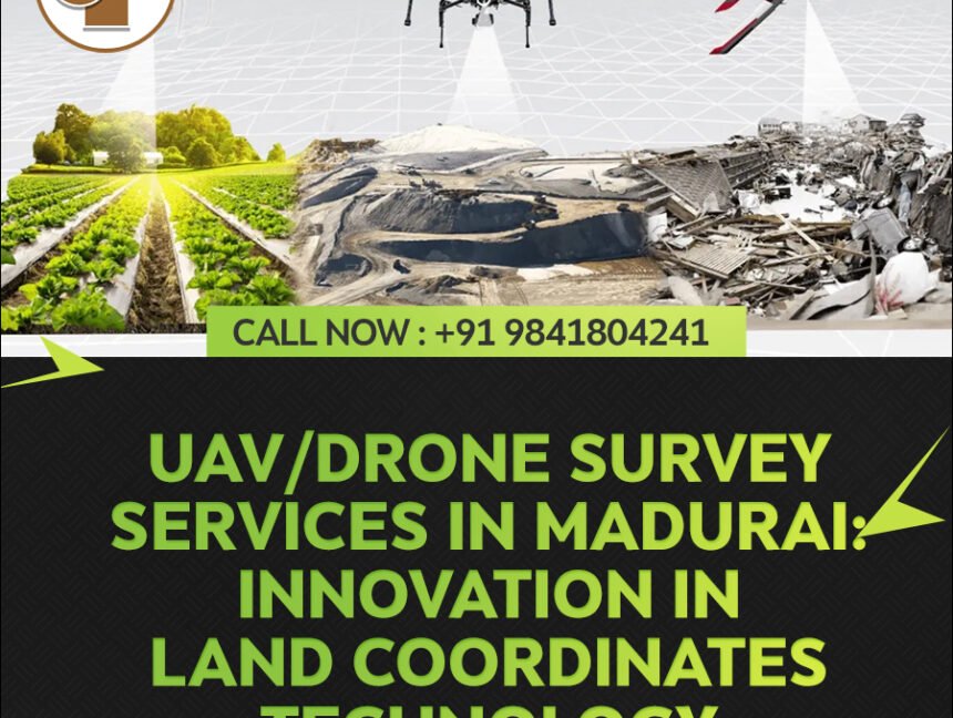
Category: UAV/Drone Survey

  • Blog
  • Category: UAV/Drone Survey
Unleashing the Potential of UAV/Drone Technology for Land Surveying in Karnataka

Unleashing the Potential of UAV/Drone Technology for Land Surveying in Karnataka

In the field of land surveying, technological advancements have played a crucial role in revolutionizing traditional surveying methods. One such innovation that has gained significant traction is the utilization of UAV/Drone technology. In the context of Karnataka, a state known for its diverse terrain and expansive landscapes, UAV/Drone survey services provided by Land Coordinates Technology

UAV/Drone Survey Services in Tamilnadu: Revolutionizing Land Coordinates Technology

In the realm of land surveying and mapping, the emergence of UAV/Drone survey services has brought about a revolutionary change. Tamilnadu, a state in southern India known for its diverse landscapes and rich cultural heritage, has embraced this technology to enhance accuracy, efficiency, and precision in land coordinates. In this blog, we will explore how

UAV/Drone Survey Services in Bangalore

UAV (Unmanned Aerial Vehicle) or drone survey services in Bangalore have emerged as a cutting-edge and transformative technology in the field of surveying and mapping. Bangalore, often referred to as the Silicon Valley of India, is a city known for its technological advancements and innovation, and it has embraced drone technology to enhance various industries,

UAV/Drone Survey Services in Karnataka

Unmanned Aerial Vehicles (UAVs), commonly known as drones, have revolutionized various industries, including surveying and mapping. In Karnataka, a state in southern India renowned for its technological advancements, the utilization of UAV survey services has experienced significant growth. These services have become invaluable tools for a wide range of applications, from agriculture and land management