


Transforming Land Coordinates with Photogrammetry Services in Salem
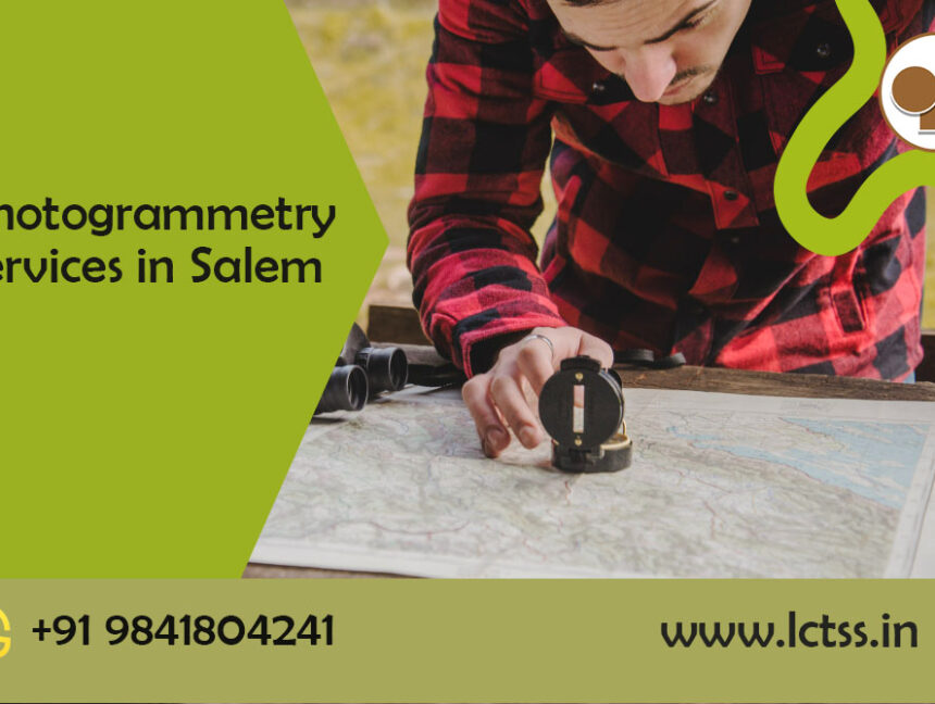
Land Coordinates Technology (LCT) is a leading provider of photogrammetry services in Salem. Our expert team at LCT utilizes state-of-the-art technology and advanced methodologies to deliver accurate and reliable results for a wide range of industries and applications. Photogrammetry is a technique that involves capturing precise measurements and data from photographs. It is a cost-effective


