


Maximizing Efficiency with GIS Mapping Services in Salem
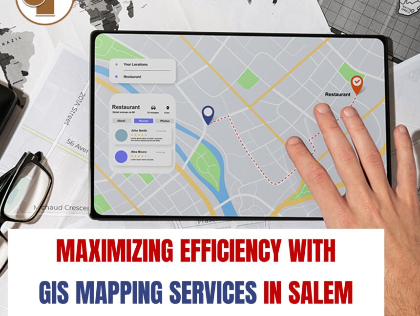
In the bustling city of Salem, where every inch of land holds potential for development and progress, harnessing the power of Geographic Information System (GIS) Mapping Services is paramount. Land Coordinates Technology (LCT), through its cutting-edge subsidiary LCTSS, emerges as the beacon of innovation in this realm, offering comprehensive solutions tailored to Salem’s unique landscape.


