Our Course List
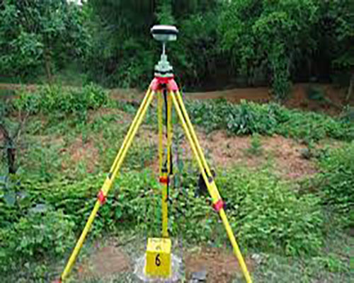
Certification in DGPS Surveyor
To become a DGPS surveyor, you typically need to have a degree or diploma in surveying, geomatics engineering, or a related field. Some employers may also require additional training or certification in DGPS technology and software.
View Course Details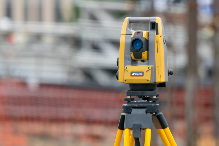
Certificate in Total Station Surveyor
Total Station Surveyor training is a program designed to provide individuals with the knowledge and skills necessary to operate a total station, a modern surveying instrument used to measure distances and angles with high accuracy.
View Course Details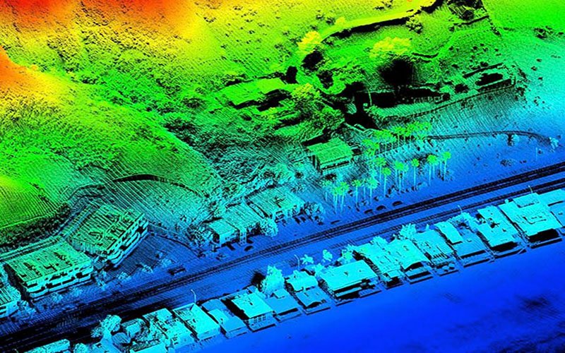
Certification in LiDAR professional
LiDAR professional training provides individuals with the knowledge and skills needed to effectively use LiDAR technology. The training typically covers topics such as LiDAR data acquisition, processing, and analysis, as well as the use of software and equipment for LiDAR applications.
View Course Details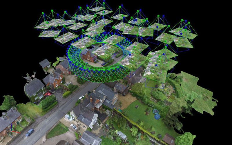
Certification in Photogrammetry Professional
Photogrammetry is the process of using photographs to measure and map physical objects and environments. It has a wide range of applications, including in mapping, surveying, construction, archaeology, and many others.
View Course Details