Blog

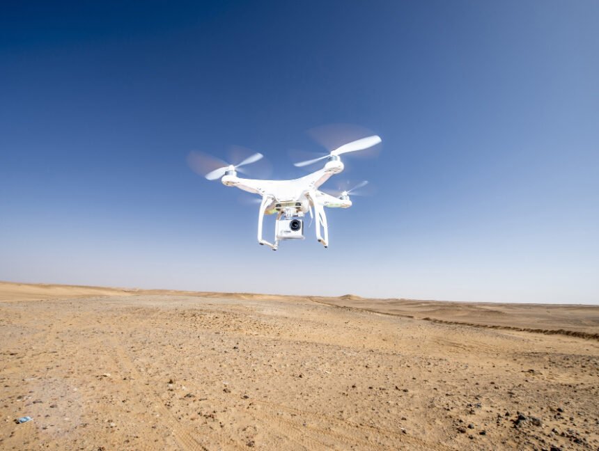
Elevate Your Skills: Drone Surveyor Training in Tamilnadu
  • No Comments

Elevate Your Skills: Drone Surveyor Training in Tamilnadu

In recent years, the field of land surveying has witnessed a remarkable transformation with the integration of drone technology. Drones, or unmanned aerial vehicles (UAVs), have revolutionized the way land surveys are conducted, offering more efficient and accurate data collection than traditional methods. Tamilnadu, a state in India renowned for its technological advancements, has become

  • No Comments

DGPS Surveyor Training in Tamilnadu: Mastering Precision with Land Coordinates Technology

DGPS (Differential Global Positioning System) surveying has become an essential technique in modern land surveying practices. With its ability to provide highly accurate positioning data, DGPS plays a crucial role in various industries, including construction, infrastructure development, and environmental mapping. If you’re looking to enhance your surveying skills and embark on a successful career as

  • No Comments

Mastering Total Station Surveying: Comprehensive Training in Tamilnadu

Certainly! Total Station surveying is a crucial technique used in land surveying and construction projects for precise measurements and data collection. In Tamilnadu, the demand for skilled Total Station surveyors is high due to the rapid growth and development in the region. At Land Coordinates Technology, we offer comprehensive Total Station Surveyor Training programs in

  • No Comments

UAV/Drone Survey Services in Tamilnadu: Revolutionizing Land Coordinates Technology

In the realm of land surveying and mapping, the emergence of UAV/Drone survey services has brought about a revolutionary change. Tamilnadu, a state in southern India known for its diverse landscapes and rich cultural heritage, has embraced this technology to enhance accuracy, efficiency, and precision in land coordinates. In this blog, we will explore how