Author:

Mastering Total Station Surveying: Comprehensive Training in Tamilnadu
  • No Comments

Mastering Total Station Surveying: Comprehensive Training in Tamilnadu

Certainly! Total Station surveying is a crucial technique used in land surveying and construction projects for precise measurements and data collection. In Tamilnadu, the demand for skilled Total Station surveyors is high due to the rapid growth and development in the region. At Land Coordinates Technology, we offer comprehensive Total Station Surveyor Training programs in

  • No Comments

UAV/Drone Survey Services in Tamilnadu: Revolutionizing Land Coordinates Technology

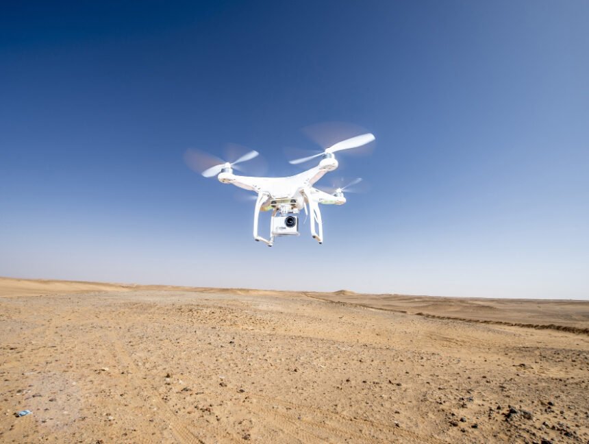
In the realm of land surveying and mapping, the emergence of UAV/Drone survey services has brought about a revolutionary change. Tamilnadu, a state in southern India known for its diverse landscapes and rich cultural heritage, has embraced this technology to enhance accuracy, efficiency, and precision in land coordinates. In this blog, we will explore how

  • No Comments

Photogrammetry Services in Tamilnadu: Revolutionizing Land Coordinates Technology

In the realm of land surveying and mapping, the advent of photogrammetry services has brought about a revolutionary change. Tamilnadu, a state in southern India renowned for its rich cultural heritage and diverse landscapes, has embraced this technology to enhance accuracy, efficiency, and precision in land coordinates. In this blog, we will explore how photogrammetry

  • No Comments

LiDAR Scanning Services Tamilnadu – Precision Geospatial Solutions

Land Coordinates Technology is a prominent provider of LiDAR scanning services in Tamil Nadu, India. LiDAR, which stands for Light Detection and Ranging, is a remote sensing technology that uses laser pulses to measure distances and create highly accurate 3D models of the Earth’s surface. Land Coordinates Technology specializes in offering LiDAR scanning services that