Author:

Dive into the World of Drone Surveyor Training in Madurai for Successful Land Coordinates Technology
  • No Comments

Dive into the World of Drone Surveyor Training in Madurai for Successful Land Coordinates Technology

The rapid advancements in drone technology have revolutionized the field of land surveying, enabling professionals to gather highly accurate and detailed spatial data with unprecedented efficiency. As the demand for skilled drone surveyors continues to grow, Land Coordinates Technology (LCT) is proud to offer comprehensive Drone Surveyor Training in Madurai. Recognized as a leader in

  • No Comments

Enhance Your Career with DGPS Surveyor Training in Madurai

In the ever-evolving field of land surveying, professionals must stay ahead of the curve by mastering the latest technologies. One such critical tool is the Differential Global Positioning System (DGPS), a sophisticated surveying technique that provides highly accurate and reliable spatial data. To meet the growing demand for skilled DGPS operators, Land Coordinates Technology (LCT)

  • No Comments

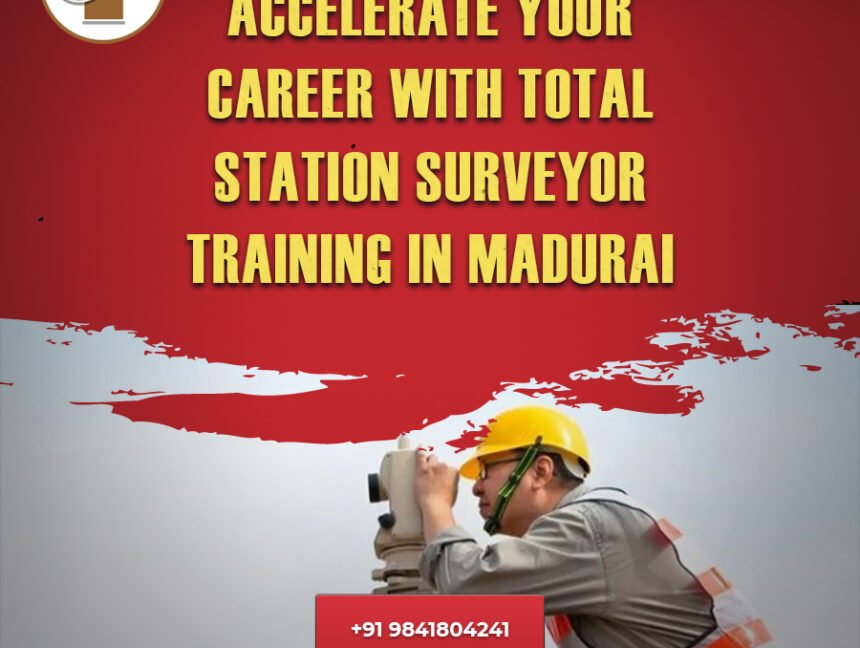
Accelerate Your Career with Total Station Surveyor Training in Madurai

As the field of land surveying continues to evolve, the importance of mastering the latest technologies has become paramount. One such critical tool is the total station, an advanced surveying instrument that combines an electronic theodolite with an electronic distance meter to provide highly accurate measurements. To meet the growing demand for skilled total station

  • No Comments

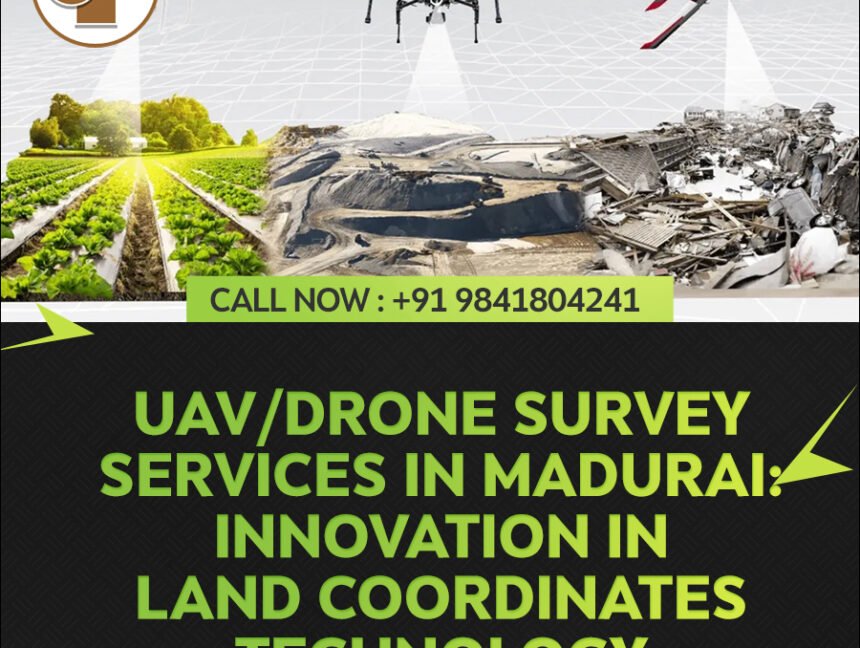
UAV/Drone Survey Services in Madurai: Innovation in Land Coordinates Technology

Introducing Land Coordinates Technology (LCT) UAV/Drone Survey Services in Madurai, where precision meets innovation. At LCT, we leverage cutting-edge unmanned aerial vehicles (UAVs) to revolutionize land surveying, offering unparalleled accuracy and efficiency. Our UAV Survey Services, powered by advanced technology and expert professionals, redefine the landscape of land mapping and analysis in Madurai and beyond.