Author:

Land Surveying Made Easy with UAV/Drone Services in Salem
  • No Comments

Land Surveying Made Easy with UAV/Drone Services in Salem

Are you looking for professional UAV/Drone services in Salem? Look no further than Land Coordinates Technology (LCT). As a leading provider of cutting-edge geospatial solutions, LCT offers a wide range of UAV/Drone services to meet your specific needs. At LCT, we understand the importance of accurate and up-to-date land data. Our team of experienced professionals

  • No Comments

Transforming Land Coordinates with Photogrammetry Services in Salem

Land Coordinates Technology (LCT) is a leading provider of photogrammetry services in Salem. Our expert team at LCT utilizes state-of-the-art technology and advanced methodologies to deliver accurate and reliable results for a wide range of industries and applications. Photogrammetry is a technique that involves capturing precise measurements and data from photographs. It is a cost-effective

  • No Comments

Exploring the Benefits of LiDAR Scanning Services in Salem

Land Coordinates Technology (LCT) is a leading provider of LiDAR scanning services in Salem. With our state-of-the-art technology and expertise in land coordinates technology, we offer precise and efficient land scanning solutions to meet the needs of various industries. At LCT, we understand the importance of accurate land coordinates for businesses involved in construction, engineering,

  • No Comments

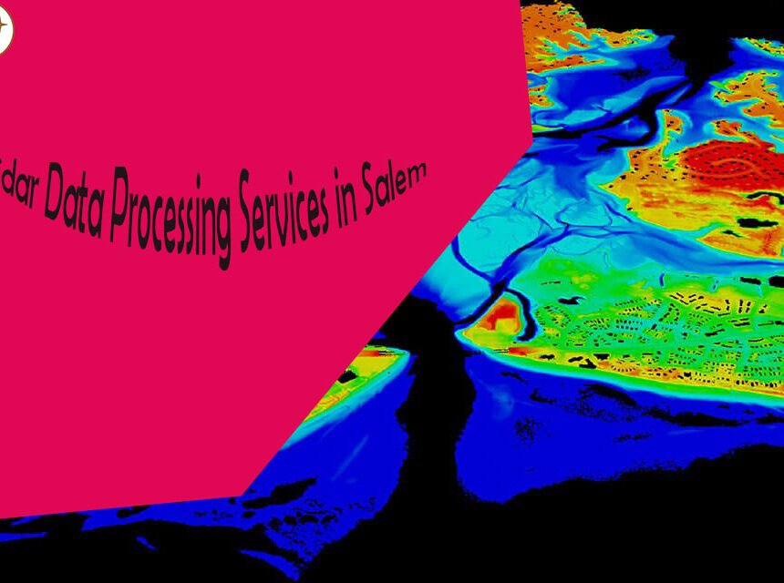
Unlocking the Potential: Utilizing Lidar Data Processing Services in Salem

Welcome to Land Coordinates Technology (LCT), your trusted partner for Lidar Data Processing Services in Salem. At LCT, we specialize in harnessing the power of Lidar technology to provide accurate and reliable land coordinates solutions for a wide range of industries. Lidar, which stands for Light Detection and Ranging, is a remote sensing technology that