


Table of Contents
ToggleIn the rapidly evolving landscape of geospatial technology, Lidar Data Processing Services have emerged as a crucial tool for various industries, including urban planning, environmental monitoring, and land surveying. In Thiruvananthapuram, Kerala, Land Coordinates Technology (LCTSS) stands out as a premier provider of these services, offering cutting-edge solutions tailored to meet the specific needs of clients.
Lidar, or Light Detection and Ranging, is a remote sensing method that uses laser light to measure distances to the Earth’s surface. By emitting laser pulses and measuring the time it takes for the light to return, Lidar can create high-resolution maps of the terrain, vegetation, and built structures. This technology is particularly beneficial for generating detailed topographical maps and conducting precise land surveys.
When it comes to Top Lidar Data Processing Services in Thiruvananthapuram, LCTSS has established itself as a leader in the industry. Here are several reasons why you should consider our services:
At LCTSS, we pride ourselves on our team of skilled professionals who possess extensive experience in Lidar data processing. Our experts are well-versed in the latest technologies and methodologies, ensuring that you receive the highest quality data and insights. By leveraging our expertise, clients can make informed decisions based on accurate and reliable information.
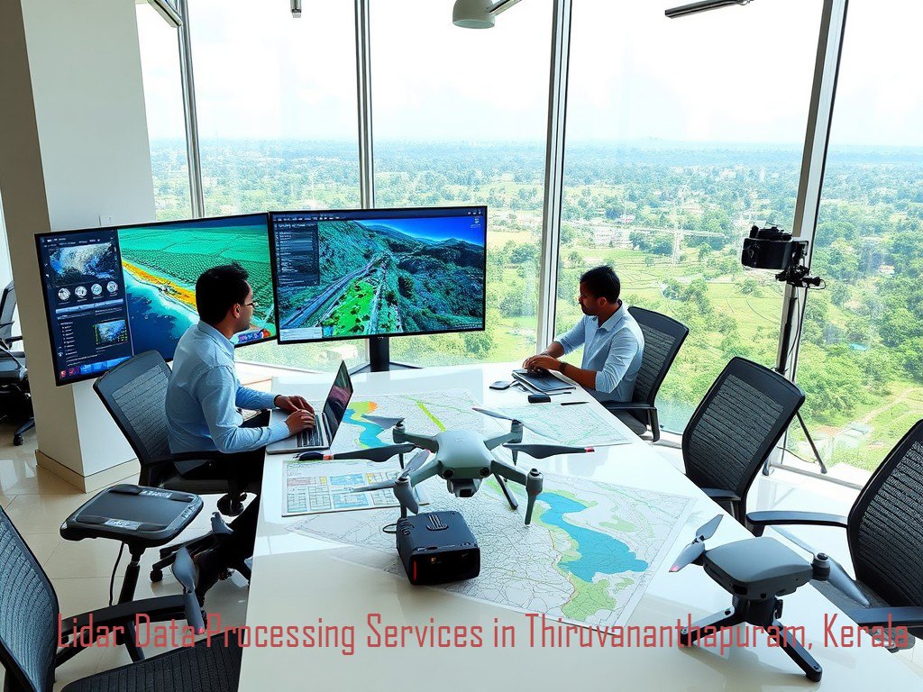
We utilize state-of-the-art Lidar systems and processing software to deliver precise data to our clients. Our advanced technology allows us to handle large datasets efficiently and produce high-quality outputs, including 3D models, digital elevation models (DEMs), and orthophotos. This technological edge makes us one of the Best Lidar Data Processing Services in Thiruvananthapuram.
Every project is unique, and at LCTSS, we understand that one size does not fit all. We offer customized Lidar data processing solutions designed to meet the specific needs of each client. Whether you require data for urban development, forestry management, or archaeological studies, our team will work closely with you to deliver the results you need.
Our Lidar data processing services encompass a wide range of applications, including:
Being based in Thiruvananthapuram, we possess a deep understanding of the local geography and regulatory requirements. This local expertise allows us to provide insights that are not only technically sound but also contextually relevant to the region.
At LCTSS, we follow a systematic approach to ensure the highest standards of quality and accuracy in our Lidar data processing services:
We begin by collecting Lidar data using high-precision sensors mounted on aircraft or drones. This step involves planning flight paths, selecting appropriate sensors, and ensuring optimal data collection conditions.
Once the data is acquired, our team processes it using advanced algorithms and software. This stage includes filtering out noise, classifying the points, and generating various outputs, such as DEMs and 3D models.
Quality assurance is a critical component of our process. We conduct thorough checks to ensure the accuracy and reliability of the processed data. This includes comparing the outputs against ground control points and making necessary adjustments.
Finally, we provide our clients with comprehensive reports and datasets tailored to their needs. Our deliverables are user-friendly and come with detailed explanations to facilitate understanding and application.
The applications of Lidar data processing are vast and varied. Here are a few key areas where our services can make a significant impact:
In urban development projects, accurate topographic data is essential for effective planning. LCTSS provides the data necessary for designing roads, parks, and public spaces, ensuring that developments are both functional and sustainable.
Lidar technology plays a crucial role in monitoring environmental changes. By analyzing vegetation health and terrain changes, agencies can assess the impacts of climate change and human activities on local ecosystems.
Farmers and agricultural planners can benefit from Lidar data by gaining insights into land use, soil types, and crop health. This information can lead to more efficient farming practices and better yield predictions.
In disaster-prone areas, Lidar data is invaluable for assessing risks and planning response strategies. By understanding terrain and flood risks, authorities can implement measures to protect communities and minimize damage.
In conclusion, if you are seeking reliable and efficient Lidar Data Processing Services in Thiruvananthapuram, look no further than Land Coordinates Technology (LCTSS). With our expertise, advanced technology, and commitment to quality, we are well-equipped to support your projects and help you achieve your goals. Our tailored solutions ensure that you receive the precise data necessary for informed decision-making. Contact us today to learn more about how we can assist you with your Lidar data processing needs!