


In today’s world, efficient traffic management and accurate land mapping are becoming increasingly critical, especially as cities expand and the demand for infrastructure and development grows. Kerala, known for its scenic landscapes and rapid urbanization, has seen an increasing need for advanced solutions to manage its traffic and land coordination systems. One company that is leading this charge is Land Coordinates Technology through its specialized services under LCTSS (Land Coordinates Technology and Spatial Services).
At the heart of their innovation is civil-based traffic services, a cutting-edge solution that leverages the latest in geospatial technology to optimize land mapping, infrastructure development, and traffic management across Kerala. This article delves into how Land Coordinates Technology is transforming Kerala’s land and traffic services through these state-of-the-art solutions.
Table of Contents
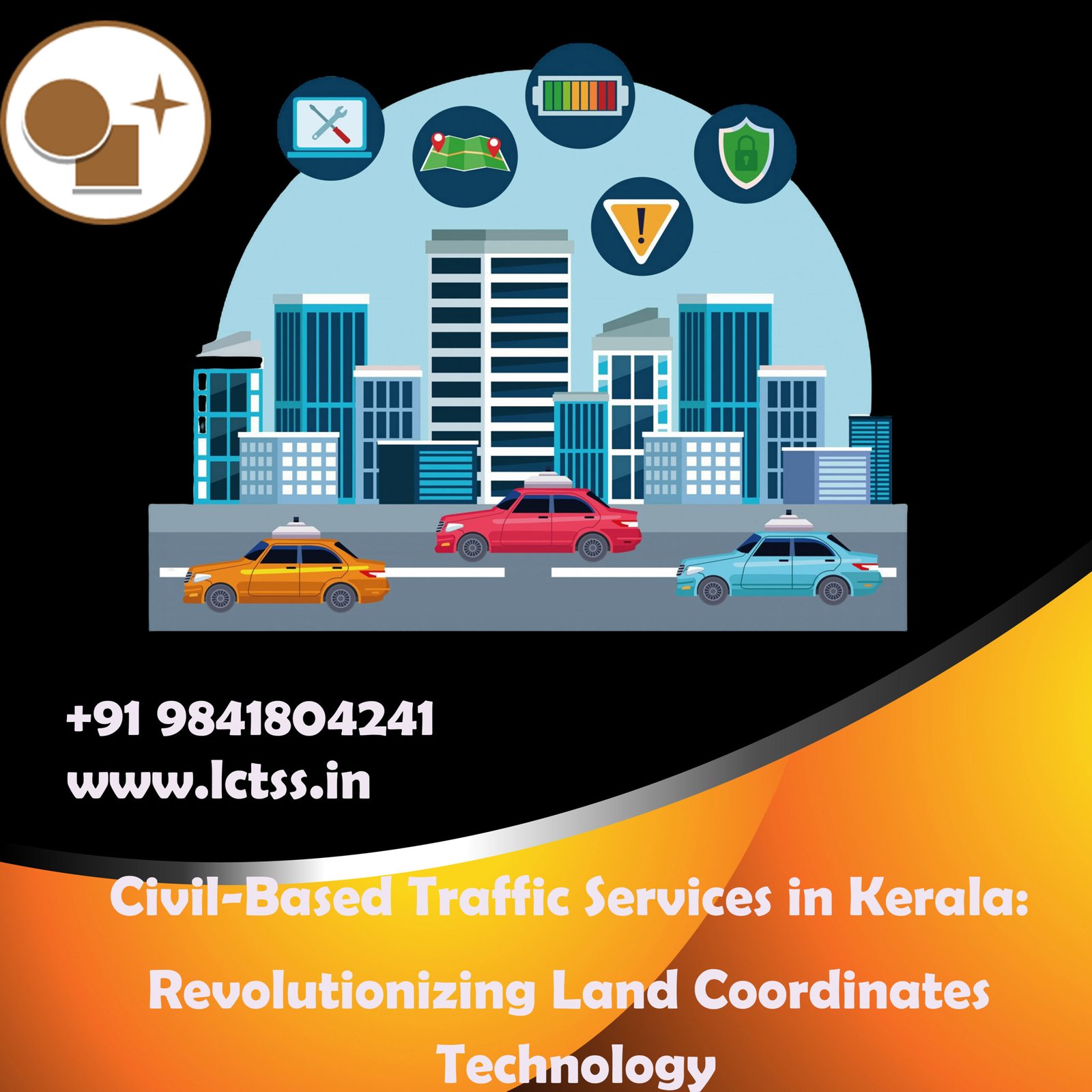
ToggleCivil-based traffic services refer to the application of geospatial and GPS technologies to monitor, manage, and predict traffic patterns. These services are primarily used in urban planning, infrastructure development, and real-time traffic management. Civil-based traffic systems incorporate a blend of satellite positioning, digital mapping, and IoT-based traffic sensors to provide a holistic view of traffic flows and potential bottlenecks.
In a state like Kerala, where the terrain varies from coastal areas to mountainous regions, traffic services that rely solely on traditional methods often struggle to deliver accurate and efficient solutions. This is where Land Coordinates Technology (LCTSS) comes in, offering specialized civil-based services that adapt to the unique geographical and infrastructural demands of Kerala.
Land Coordinates Technology through its LCTSS division is focused on delivering high-precision geospatial solutions, particularly for urban and rural infrastructure. The company provides services that are deeply rooted in the needs of Kerala’s growing traffic problems while ensuring accurate land mapping, which is essential for smart city initiatives, urban planning, and civil engineering projects.
Land Coordinates Technology excels by combining land coordinates technology with civil-based traffic services. Here are some of the ways LCTSS makes this integration possible:
Geospatial Mapping for Traffic and Infrastructure: LCTSS uses advanced geospatial mapping tools to chart out not only the roads but also how traffic interacts with the surrounding environment. This data provides accurate insights into where congestion is most likely to occur, as well as the environmental impact of infrastructure development. By incorporating land coordinates data into their traffic management systems, they ensure accurate, real-time data that is critical for making decisions about road expansions, traffic signals, and bypasses.
Land Mapping for Urban Planning: LCTSS is a pioneer in land mapping and surveying in Kerala, using the latest in land coordinates technology to deliver highly accurate data on property boundaries, land usage, and development potential. Their services help local governments and municipalities in Kerala to design more efficient and sustainable urban layouts. Civil-based traffic data is incorporated into this planning process to ensure that cities grow in ways that accommodate future traffic demands, thus preventing congestion issues before they arise.
Traffic Flow Optimization: With Kerala’s growing population, traffic congestion has become a daily challenge for commuters and local authorities. LCTSS provides innovative civil-based traffic services that utilize land coordinates technology to map out the flow of traffic in real time. This helps in traffic signal optimization, the creation of alternate routes, and the prediction of peak traffic hours, leading to improved commute times and reduced road accidents.
Disaster Management and Emergency Response: Kerala’s varied topography also makes it prone to natural disasters like floods and landslides. Land Coordinates Technology, through LCTSS, provides essential services in disaster management by mapping out vulnerable areas using real-time geospatial data. During emergencies, civil-based traffic systems can guide responders by offering the most efficient routes for evacuation or aid delivery. Integrating land coordinates technology with traffic services enables rapid, life-saving interventions when every second counts.
Support for Smart City Projects: Kerala has initiated several smart city projects aimed at improving urban infrastructure and quality of life. Land Coordinates Technology plays a pivotal role in these projects by offering civil-based traffic services integrated with land coordinates technology. These projects rely heavily on data collected from traffic patterns, land usage, and population distribution. LCTSS ensures that the traffic systems within these smart cities are optimized to provide seamless transportation networks, promoting sustainable and efficient urban development.
The integration of civil-based traffic services by Land Coordinates Technology (LCTSS) brings several benefits to Kerala:
Reduced Traffic Congestion: By analyzing real-time data and predicting traffic patterns, LCTSS helps reduce congestion in key urban areas, improving the overall efficiency of the transport network.
Sustainable Infrastructure Development: Civil-based traffic data, when combined with accurate land mapping, allows for the planning of infrastructure projects that are not only efficient but also environmentally sustainable.
Improved Public Safety: With real-time traffic monitoring and accurate land coordinates mapping, LCTSS enhances public safety by providing better traffic management solutions and improved emergency response systems.
Economic Growth: Efficient traffic systems directly impact economic productivity. With smoother commutes and less congestion, the economy of Kerala can grow more rapidly. Businesses thrive in areas where transport systems are reliable, and LCTSS plays a crucial role in ensuring that Kerala’s roads are ready to support future growth.
Enhanced Public Transport Systems: Through civil-based traffic monitoring, public transport routes can be optimized, leading to better service for residents and tourists alike. Kerala’s thriving tourism industry can greatly benefit from improved transport efficiency, enhancing the overall experience for visitors.
Land Coordinates Technology (LCTSS) is at the forefront of transforming Kerala’s traffic and urban development landscape by integrating civil-based traffic services with cutting-edge land coordinates technology. Their innovative solutions are helping to create smarter, more efficient cities that can cope with the growing demands of urbanization and infrastructure needs.
As Kerala continues to develop, the role of companies like Land Coordinates Technology becomes increasingly important in shaping the future of the state’s traffic management and land development. The combination of precise geospatial data, real-time traffic management, and forward-thinking infrastructure planning ensures that Kerala is on the right path toward sustainable growth and modernization. Whether it’s urban planning, disaster management, or smart city development, LCTSS is providing the technology solutions Kerala needs to drive its future.