


In today’s fast-evolving technological landscape, the need for precision, efficiency, and innovation has never been greater. Drones, or Unmanned Aerial Vehicles (UAVs), have revolutionized industries ranging from agriculture and construction to environmental monitoring and infrastructure development. With the increasing demand for accurate and high-quality data, the role of drone surveyors has become indispensable. If you’re in Chennai and looking to elevate your career in this cutting-edge field, enrolling in Drone Surveyor Training at Land Coordinates Technology (LCTSS) is your ideal next step.
Table of Contents
ToggleThe use of drones for surveying is transforming the way professionals collect, analyze, and interpret data. Traditional surveying methods, while effective, are often time-consuming, labor-intensive, and susceptible to human error. In contrast, drone surveying offers rapid, cost-effective, and highly accurate results. By enrolling in Drone Surveyor Training at Land Coordinates Technology, you gain the skills and knowledge necessary to operate drones, manage data, and deliver precise survey results with confidence.
Land Coordinates Technology (LCTSS) is a leading provider of advanced surveying solutions in Chennai, Tamilnadu. With a strong reputation for excellence, LCTSS has been at the forefront of integrating cutting-edge technologies into the surveying industry. Our comprehensive training programs are designed to equip professionals with the expertise needed to excel in today’s competitive market.
Our Drone Surveyor Training program is meticulously crafted to cover all aspects of drone-based surveying, ensuring that participants gain a thorough understanding of both theoretical concepts and practical applications. Here’s a glimpse of what the training entails:
Choosing to train with Land Coordinates Technology offers several advantages that set us apart from other institutions:
Our trainers are industry experts with extensive experience in drone surveying and geospatial technologies. They bring a wealth of practical knowledge to the classroom, ensuring that you receive top-notch instruction.
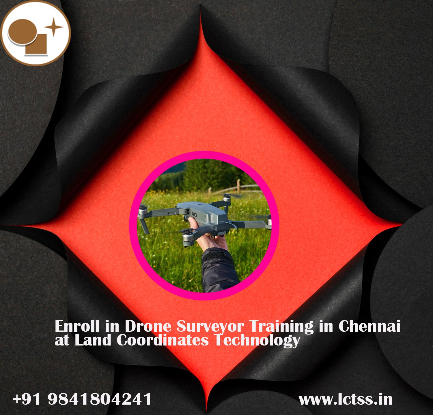
At LCTSS, we believe in providing our trainees with the best tools for success. Our training facility is equipped with the latest drone models and surveying equipment, giving you hands-on experience with industry-standard technology.
Our training program covers the entire spectrum of drone surveying, from basic principles to advanced techniques. Whether you’re a beginner or a seasoned professional looking to upskill, our curriculum is designed to meet your needs.
Upon completion of the Drone Surveyor Training program, you’ll receive a certification from Land Coordinates Technology, recognized by industry professionals. Additionally, our career support services will help you explore job opportunities and connect with potential employers.
Chennai, as a thriving hub of technological innovation and industrial growth, offers a unique environment for aspiring drone surveyors. The city’s diverse landscape, ranging from urban developments to coastal areas, provides an excellent training ground for mastering drone surveying techniques. Moreover, the growing demand for skilled drone operators in sectors such as real estate, infrastructure, and environmental conservation makes Chennai an ideal place to kickstart your career in this field.
At Land Coordinates Technology, we take pride in the success of our trainees. Over the years, we’ve trained numerous professionals who have gone on to make significant contributions to the surveying industry. Here are a few success stories:
Ravi Kumar, a civil engineer from Chennai, enhanced his career prospects by completing our Drone Surveyor Training. Today, he manages large-scale infrastructure projects, utilizing drone technology for efficient and accurate data collection.
Priya Sharma, an environmental consultant, leveraged her training at LCTSS to specialize in environmental monitoring. Her work in coastal erosion studies using drone surveys has been widely recognized for its impact on local conservation efforts.
Enrolling in the Drone Surveyor Training at Land Coordinates Technology is simple. Visit our website https://www.lctss.in/ fill out the registration form, and our team will get in touch with you to guide you through the process. Whether you’re looking to enhance your current skill set or embark on a new career path, our training program is designed to help you achieve your goals.
Drone surveying is not just a trend; it’s the future of the surveying industry. By enrolling in Drone Surveyor Training at Land Coordinates Technology in Chennai, you’re investing in a skill set that will open doors to exciting career opportunities. With our expert guidance, state-of-the-art equipment, and comprehensive curriculum, you’ll be well-equipped to excel in the rapidly evolving field of drone surveying. Don’t miss out on the chance to be part of this technological revolution—enroll today and take the first step towards becoming a certified drone surveyor with LCTSS!