


In the rapidly evolving world of geospatial technology, the demand for precise and efficient surveying methods has never been higher. At the forefront of this revolution in Chennai is Land Coordinates Technology (Lctss), a company committed to delivering top-notch UAV/Drone survey services. With an emphasis on accuracy, efficiency, and innovation, Lctss has positioned itself as a leader in the field, catering to a wide range of industries across Tamilnadu.
Table of Contents
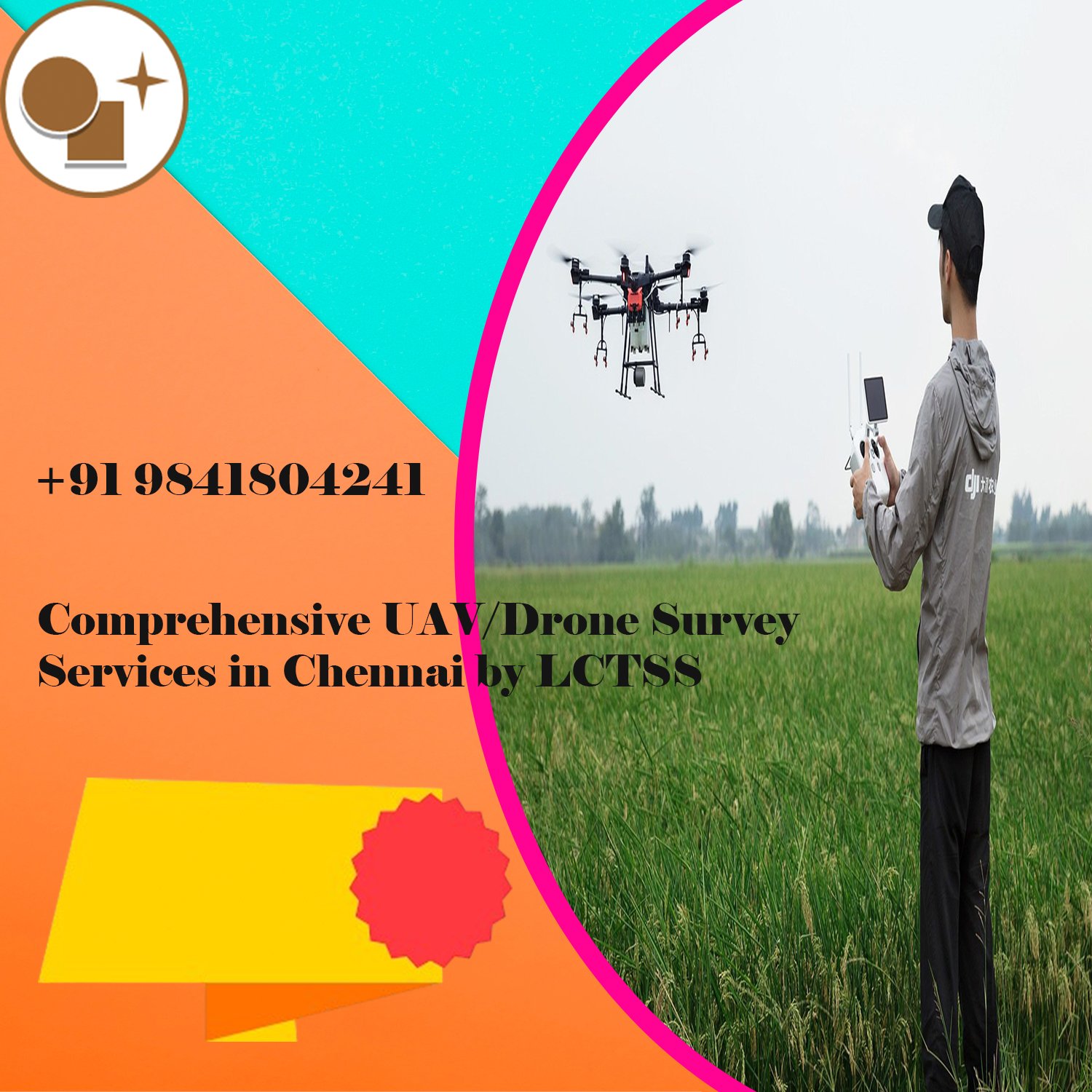
ToggleUnmanned Aerial Vehicles (UAVs), commonly known as drones, have transformed the way surveys are conducted. Unlike traditional surveying methods, which can be time-consuming and labor-intensive, UAV/Drone surveying offers a faster, more cost-effective solution without compromising on accuracy. The ability to capture high-resolution imagery and detailed data from various angles makes UAV/Drone surveys invaluable for projects requiring precision.
Land Coordinates Technology leverages cutting-edge UAV/Drone technology to provide comprehensive surveying services that meet the unique needs of clients in Chennai and beyond. Whether for infrastructure development, land mapping, environmental monitoring, or construction projects, Lctss ensures that every survey is conducted with the highest standards of professionalism and accuracy.
When it comes to UAV/Drone survey services in Chennai, Land Coordinates Technology stands out for several reasons:
Lctss utilizes the latest UAV/Drone technology equipped with advanced sensors and high-resolution cameras. This allows for the collection of precise data that can be used for detailed analysis and decision-making. The drones operated by Lctss are capable of capturing imagery at various altitudes and angles, ensuring comprehensive coverage of the survey area.
The team at Land Coordinates Technology comprises highly trained professionals with extensive experience in UAV/Drone surveying. They are adept at handling complex survey projects, ensuring that every detail is captured accurately. From initial planning to data processing and analysis, the Lctss team is dedicated to delivering results that exceed client expectations.
Every project is unique, and Land Coordinates Technology understands the importance of providing tailored solutions to meet specific requirements. Lctss works closely with clients to understand their needs and offers customized UAV/Drone survey services that align with project goals. This flexibility ensures that clients receive the most relevant and useful data for their projects.
Time is often a critical factor in many projects, and UAV/Drone surveying by Land Coordinates Technology offers a significant time advantage over traditional methods. Drones can cover large areas quickly, reducing the time needed for data collection. This efficiency translates into faster project completion times, helping clients stay on schedule and within budget.
In addition to saving time, UAV/Drone surveys can be more cost-effective than traditional surveying methods. The ability to capture detailed data without the need for extensive on-the-ground work reduces labor costs and other associated expenses. Land Coordinates Technology offers competitive pricing for its UAV/Drone survey services, making high-quality surveying accessible to a broader range of clients.
The versatility of UAV/Drone surveying makes it suitable for a wide range of applications. Land Coordinates Technology provides services across various sectors, including:
For infrastructure projects such as road construction, bridge building, and urban planning, accurate surveying is crucial. Lctss provides detailed topographical data and 3D models that assist in the planning and execution of these projects.
Accurate land mapping is essential for property development, land registration, and legal documentation. Land Coordinates Technology offers precise cadastral surveys that ensure accurate boundary identification and land division.
UAV/Drone surveys are increasingly being used for environmental monitoring, including forest management, wildlife conservation, and natural resource assessment. Land Coordinates Technology provides services that help clients monitor environmental changes, assess impacts, and develop sustainable management plans.
In the construction and real estate sectors, UAV/Drone surveys provide valuable insights for site planning, progress monitoring, and marketing. Lctss offers high-resolution aerial imagery and 3D models that aid in project visualization and stakeholder communication.
Precision agriculture benefits significantly from UAV/Drone surveys, which provide detailed data on crop health, soil conditions, and irrigation needs. Land Coordinates Technology helps farmers optimize their operations through accurate and timely information.
At Land Coordinates Technology, quality is not just a goal—it’s a commitment. Every UAV/Drone survey conducted by Lctss adheres to strict quality control measures to ensure the accuracy and reliability of the data collected. The company follows industry best practices and continuously updates its technology and methodologies to stay ahead in the field of geospatial surveying.
Land Coordinates Technology also places a strong emphasis on safety. All UAV/Drone operations are conducted in compliance with local regulations and safety guidelines. The company’s experienced pilots and surveyors undergo regular training to ensure safe and efficient drone operations.
The success of Land Coordinates Technology in UAV/Drone surveying is reflected in the positive feedback from clients. Here’s what some of them have to say:
“We were impressed with the level of detail and accuracy provided by Lctss. Their UAV/Drone survey services were instrumental in the success of our infrastructure project.” — Jyothi
“Lctss delivered exactly what we needed for our land mapping project. Their team was professional, and the data was spot on. We highly recommend their services.” — Rakesh
“The UAV/Drone survey conducted by Land Coordinates Technology helped us monitor environmental changes with precision. We appreciate their commitment to quality and efficiency.” — Ujjwal
For comprehensive UAV/Drone survey services in Chennai, Land Coordinates Technology (Lctss) is the go-to provider. With a blend of state-of-the-art technology, expert professionals, and a commitment to quality, Lctss delivers accurate, efficient, and cost-effective solutions tailored to the needs of various industries. Whether you are in infrastructure development, environmental monitoring, agriculture, or any other sector requiring precise geospatial data, Land Coordinates Technology has the expertise to support your project from start to finish.
Contact Land Coordinates Technology today to learn more about their UAV/Drone survey services and how they can help you achieve your project goals with precision and efficiency.